South Fork Eagle River – Peak 1212 (North Bowl area)
Signs of instability:
- Subtle cracking and collapsing of saturated surface snow (top several inches) where it sits on top of a supportable base (old melt-freeze crust from January warmup)
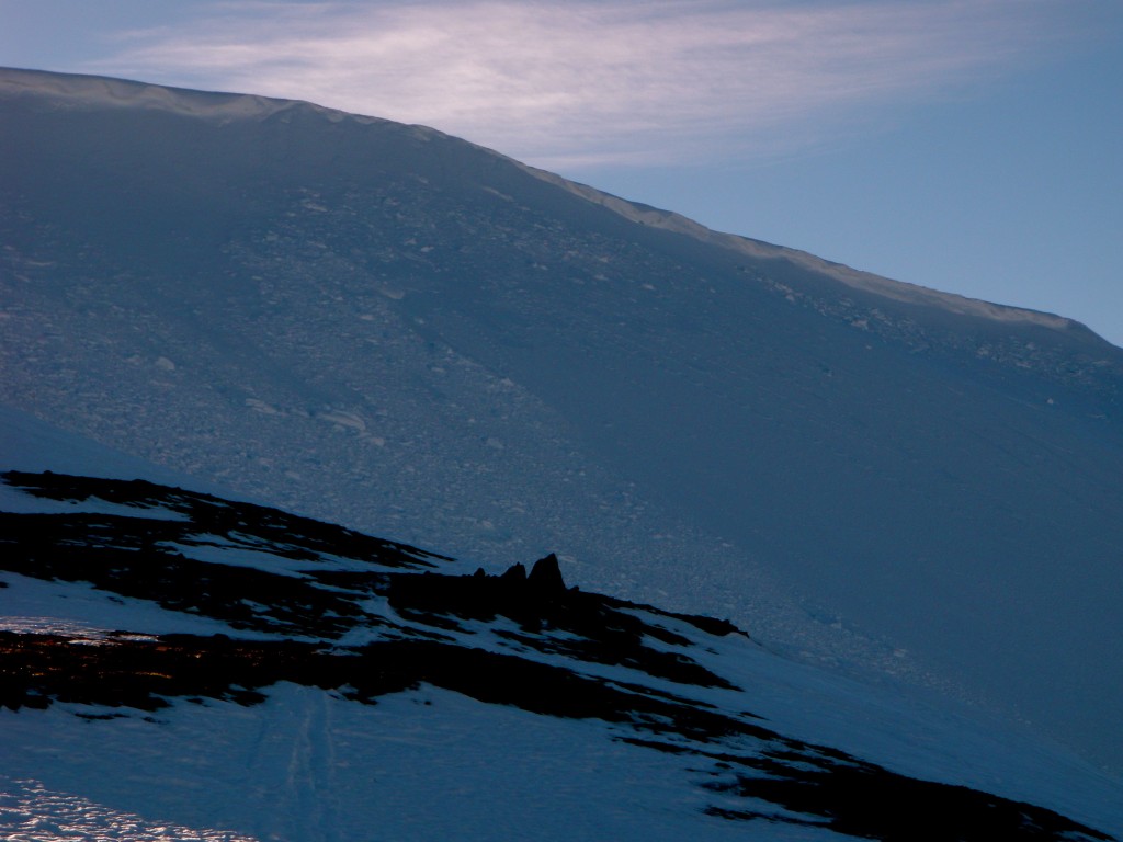
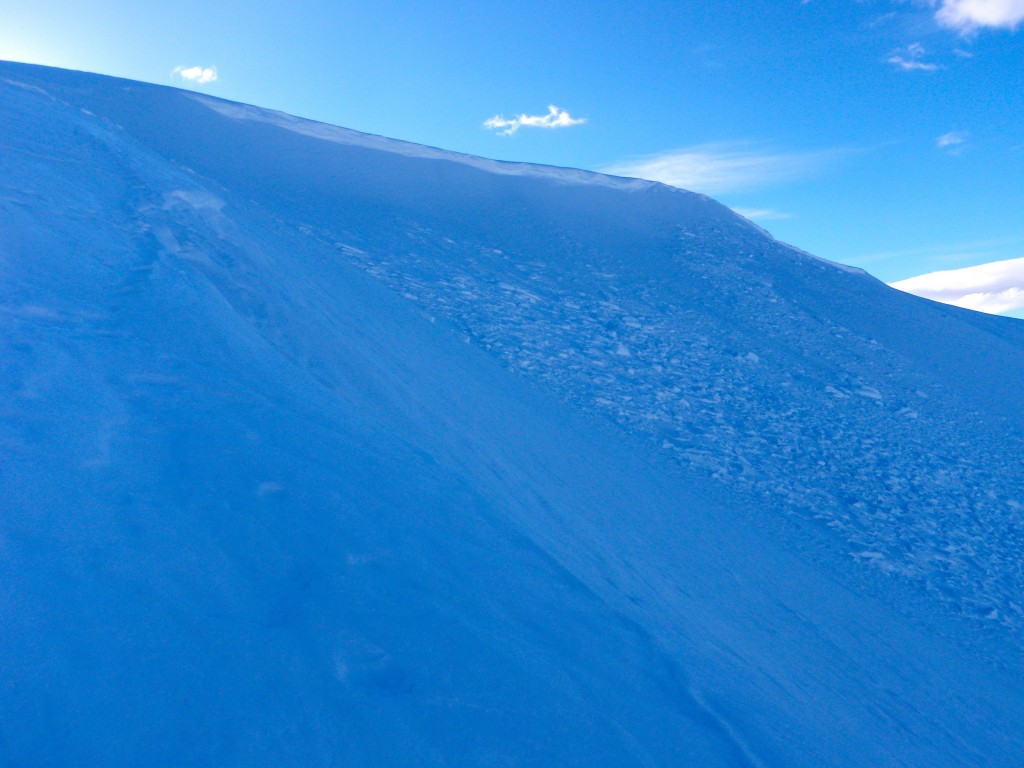
- Recent wet loose avalanches in steep upper elevation terrain (predominantly triggered by cornice failures) and in thinner, rockier areas of the snowpack
- Large roller balls triggered from turns
- Many areas of saturated, unsupportable snow to the ground (mainly thinner areas of the snowpack with facets and depth hoar underlying newer snow and not much of a crust from the January warmup)
Weather:
- Mostly sunny skies with alpine temps in the 40s (up to at least 4000′) and moderate SE winds
Surface conditions:
- Widespread wet and saturated surface snow (from a couple cm’s to several inches)
- More supportable, faster, and less sticky on shaded upper elevation northerly aspects – punchy, sticky, slower, and less supportable elsewhere (thinner areas and aspects receiving more sun)
Discussion:
That window of blissful powder skiing that lasted well over a week, began with days of trickle, and culminated in a significant dump has ended. Strong winds early this week followed by a couple days of above freezing alpine temperatures with no overnight re-freeze have made a mess of our surface conditions. In an attempt to be optimistic, it at least seems the meltdown will be short lived compared to the last, the low density snow we received the middle of last week has “cooked down” rather than being sublimated by wind, and will hopefully provide for a more substantial base than we previously had once it re-freezes. Nonetheless, skiing/riding conditions will suffer until we receive another appreciable deposit of fresh snow.
It appears the above freezing temperatures and the meltdown have reached high into the mountains, as evidenced by a lack of any pluming in the higher peaks of the Front Range and Eagle River areas despite moderate to strong upper elevations winds today.
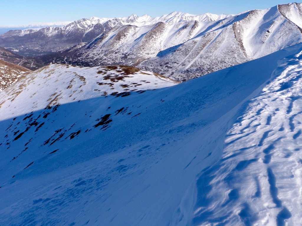
North Bowl experienced a few recent avalanches: wind slabs just below the corniced ridge that presumably failed Monday or Tuesday before the warm-up (only D1 in size – click here to see the destructive force size scale):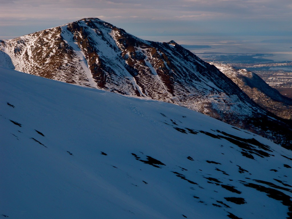
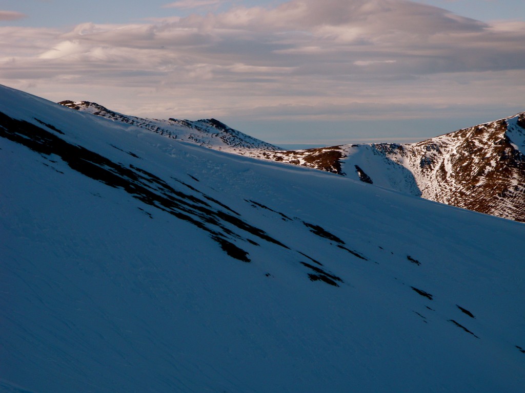
Even in the upper elevations (~4000′) the sastrugied surface snow has been saturated by warm temperatures: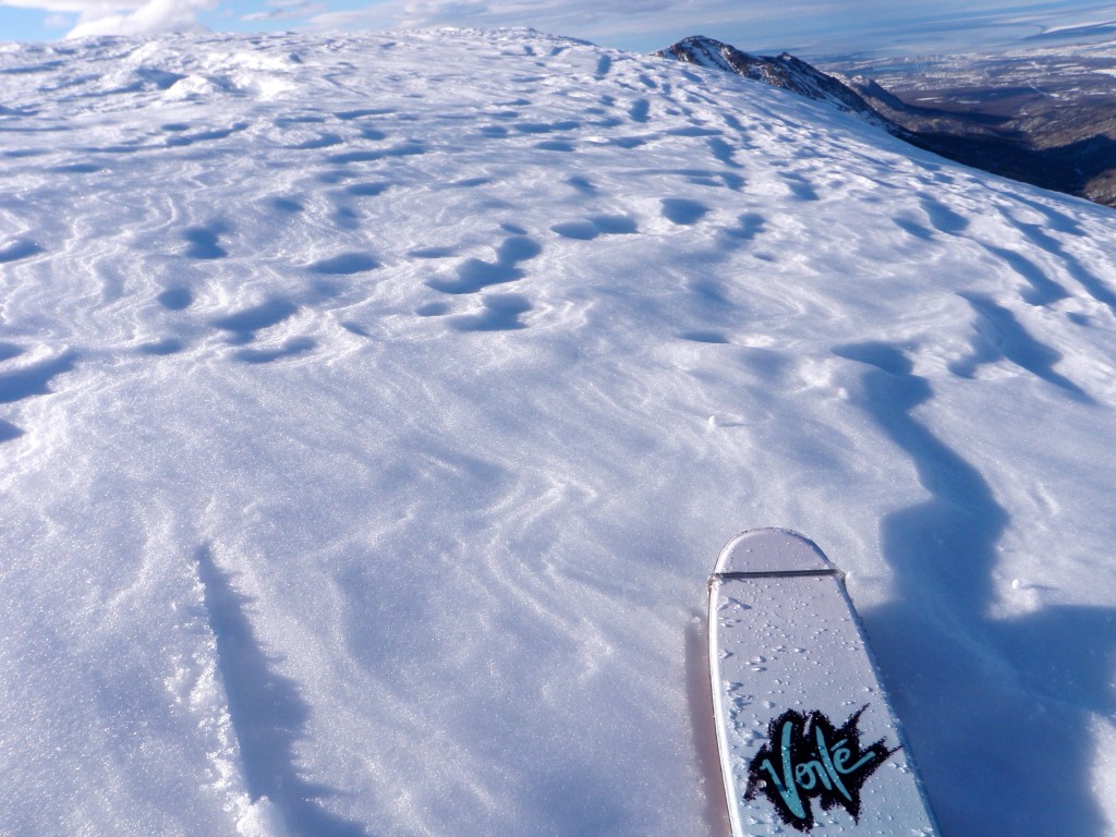
“Sun cups” from warm temperatures are fairly widespread at mid elevations (2000-3000′):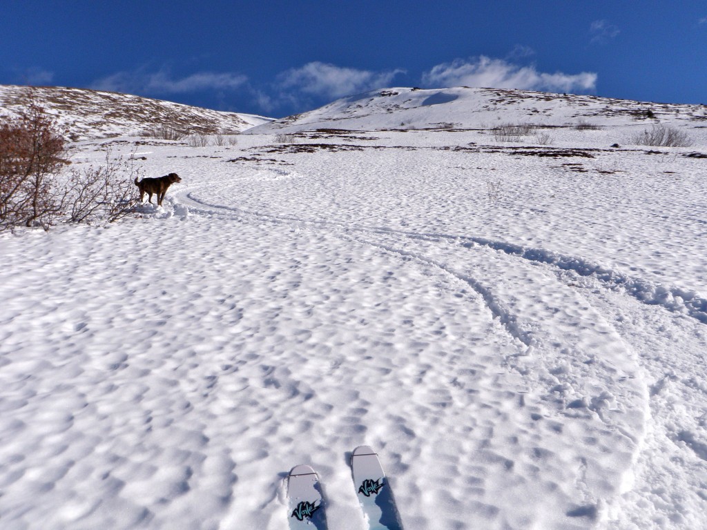
Slushy, unsupportable trail breaking in places: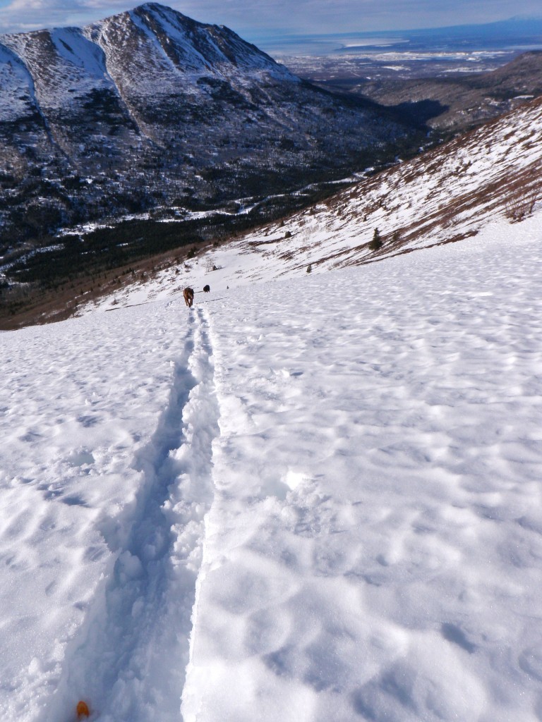
Turns readily created roller balls even on relatively mellow terrain: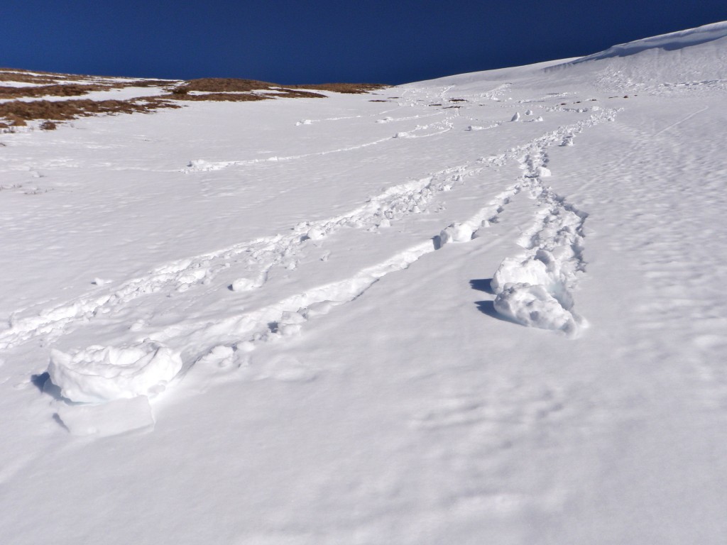
Expected avalanche danger for Friday, February 28, 2014:
Click here to see the complete danger scale
With an expected overnight re-freeze at the mid to upper elevations the snowpack should stabilize. There may be some ripe February corn to be harvested later in the day if alpine temperatures rise above freezing again. Wet avalanches will be a possibility later in the day if it gets warm enough and the sun is out. Otherwise, be mindful of the destabilizing effects of warm temperatures on old slabs formed earlier in the week (primarily by wind).

