
Early Week Avalanche Outlook (December 16-17, 2013)
Issued Sunday, December 15, 2013 at 9:00pm (information provided below expires in 24 hours):
Anticipated danger for December 16-17:
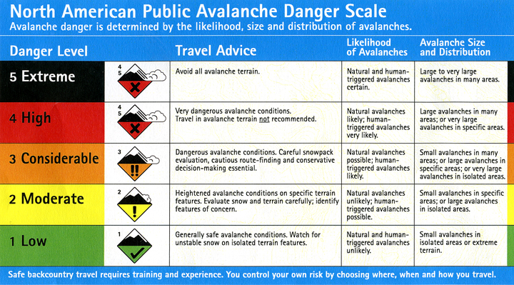
Click here to view the complete danger scale
Primary concerns:
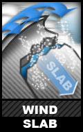
While new snow, in general, has not been wind-affected, some wind slabs have likely developed in upper elevations areas. They are expected to be small and relatively soft, but could still prove to be dangerous depending on the terrain. Northerly winds Sunday night may provide for some additional snow transport and wind loading of lee slopes and other deposition areas by Monday. Winds are currently forecast to be light Monday and Tuesday and the wind slab problem shouldn’t be exacerbated after Sunday.
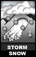
While the new snow was observed to be loose and unconsolidated on Sunday at Arctic Valley, soft and cohesive storm snow slabs may have developed in some areas. While they’re also expected to be small, soft, and failing at the old/new snow interface (10-20″ down in areas that haven’t been wind-affected), they could also be dangerous; consider the circumstances.
Otherwise, cold temperatures and clear skies early this week will likely facet the dendritic new snow and be conducive to surface hoar growth. But, this shouldn’t affect stability until we receive more snow.
If you’re out and about in Chugach State Park please submit your observations to the Anchorage Avalanche Center; they’re one of our most valuable resources!