
Observations
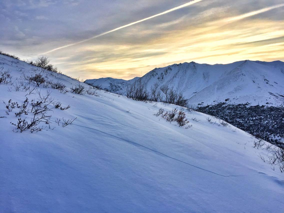
South Fork Eagle River: Harp
Shooting cracks and “whumphs” (collapses) on the approach to Harp via Hiland Road. Wind slabs have formed from the Thursday-Friday snowfall, ridges have been scoured, and gullies cross loaded. The snowpack is still very thin and riding conditions variable.
Turnagain Arm: Penguin
The west facing gully on Penguin peak had a large debris pile at its base that was visible from the Seward Highway. This is the avalanche path that typically releases from ~3300′ and fills the main Penguin gully (which the summer trail follows) with debris, crushing alders, and making the approach for skiing easier. It’s suspected that there still is not enough debris filling the main gully in the vicinity of the summer trail to make the approach on skis easy. Potentially dangerous avalanche conditions may still exist and it’s worth noting that most of the approach to Penguin is in a very large and dangerous terrain trap. Please also be aware that if you travel along Penguin ridge from the false summit above the main SW bowl to Penguin Peak proper, you will be traveling just above the start zones of avalanche paths that threaten the Seward Highway in the Bird Flats area. Humans traveling along Penguin ridge during the snow season have the potential to trigger avalanches that could hit the highway, or at least send a powder cloud near the road endangering motorists.

Turnagain Arm: ice climbing
There is A LOT of ice climbing available on the highway along Turnagain Arm from the Potter weigh station to Girdwood. The ice is generally fat and solid, enough that even the top outs on the road cut climbs generally have good sticks to the anchors. Most climbs listed on the Alaska Ice Climbing Guide for Turnagain Arm seem to be in, with the exception of the climbs at PFM wall.