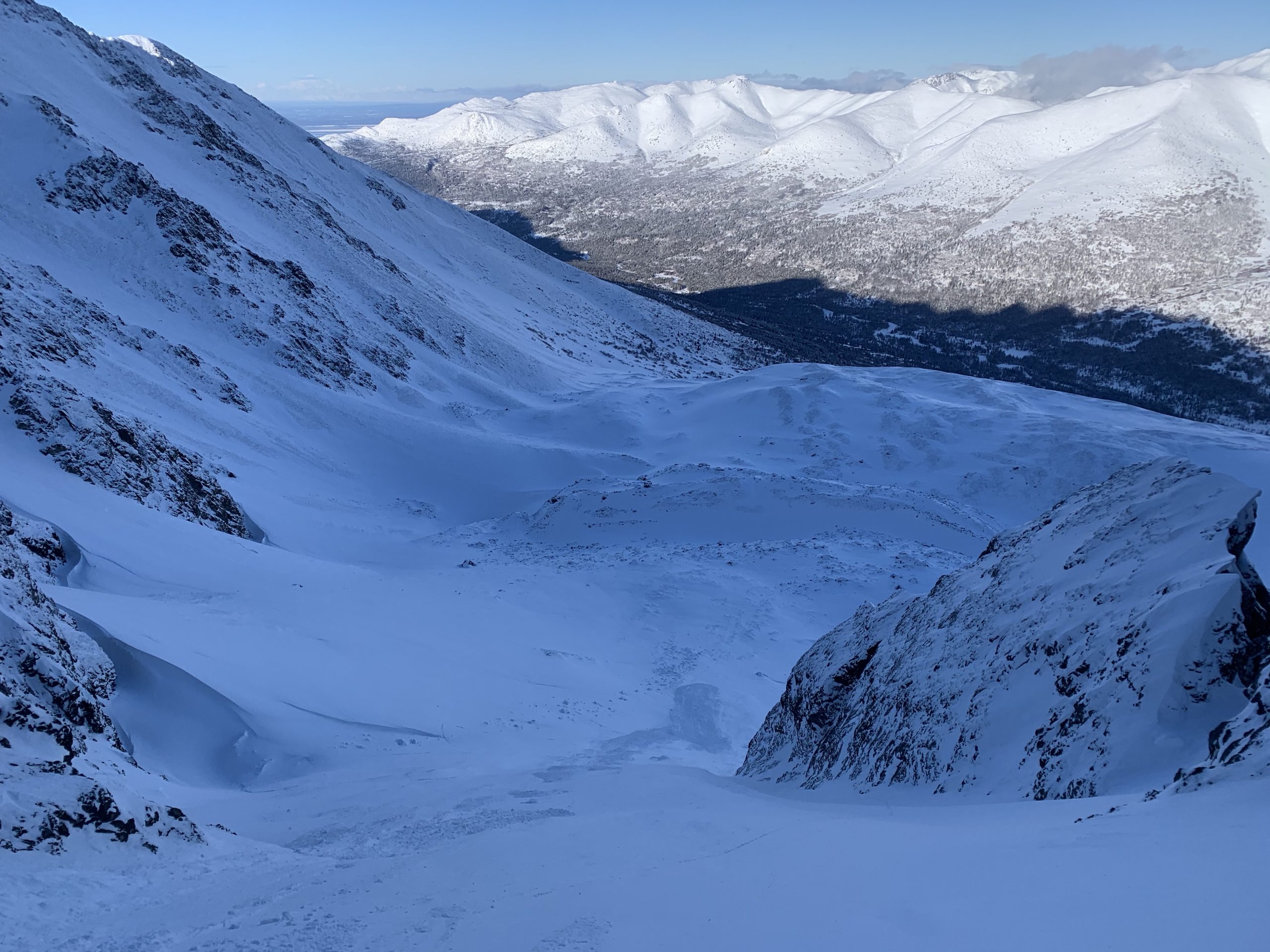
Western Chugach, Chugach State Park, Ship Creek area
Toured from Upper South Fork Eagle River trailhead over Rendezvous Ridge, down to Ship Creek, and up to ~5000′ on northerly aspects on the west side of Ship Creek. Made a lollipop loop back over Rendezvous Ridge to return to Upper South Fork trailhead. We traveled ~14 miles and 9100′ vertical surveying snow and avalanche conditions.
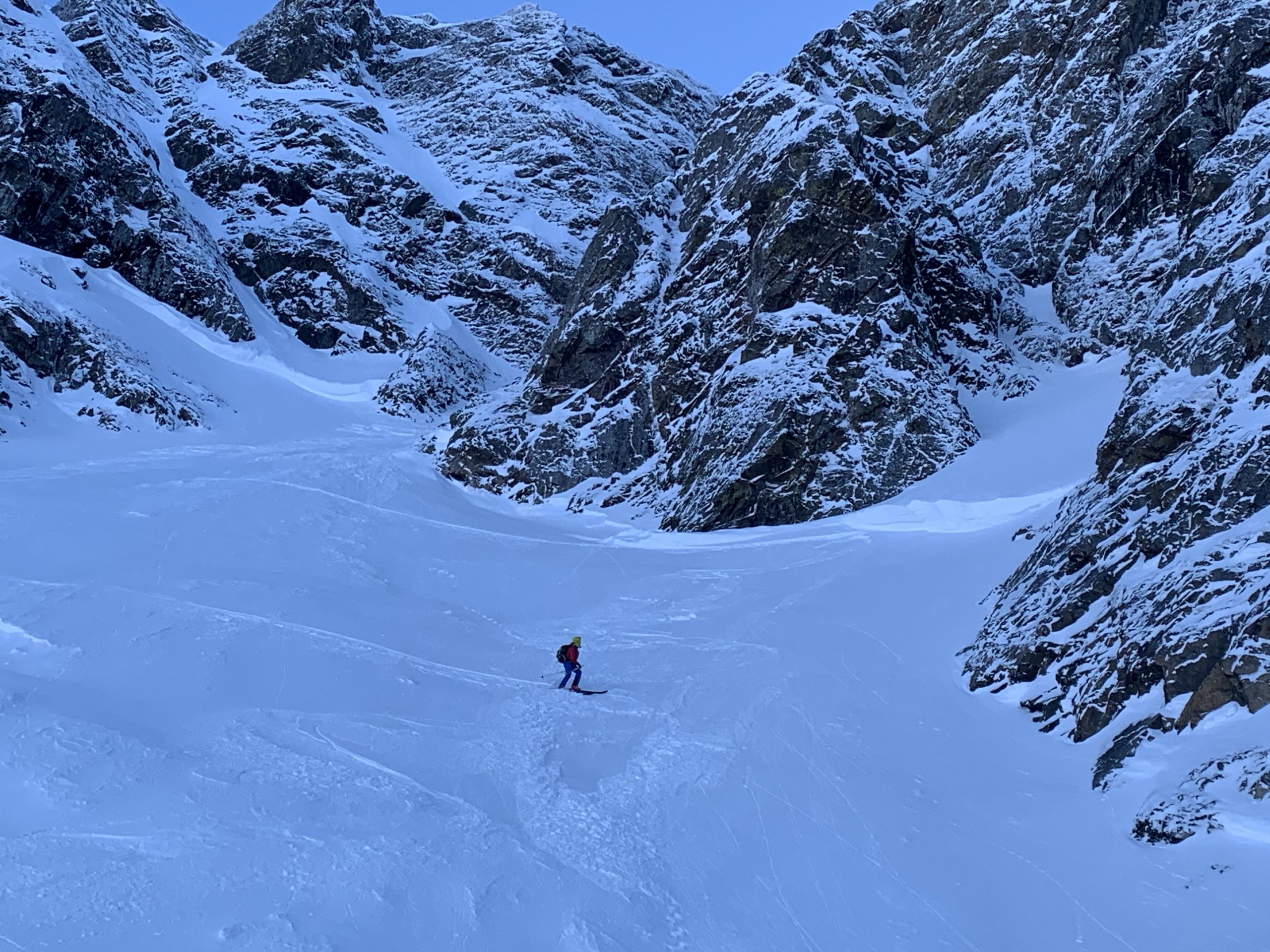
We experienced countless BIG collapses (“whumphs”) below 3500′ on all aspects (some of these collapses shook snow off trees), much more D2-D2.5 natural avalanche activity from 2/17-20 snow and wind events, pluming off peaks and ridges above 4500′ (active wind loading), and two human triggered D1.5 wind slabs on terrain steeper than 40º between 4000-5000′ northerly aspects.
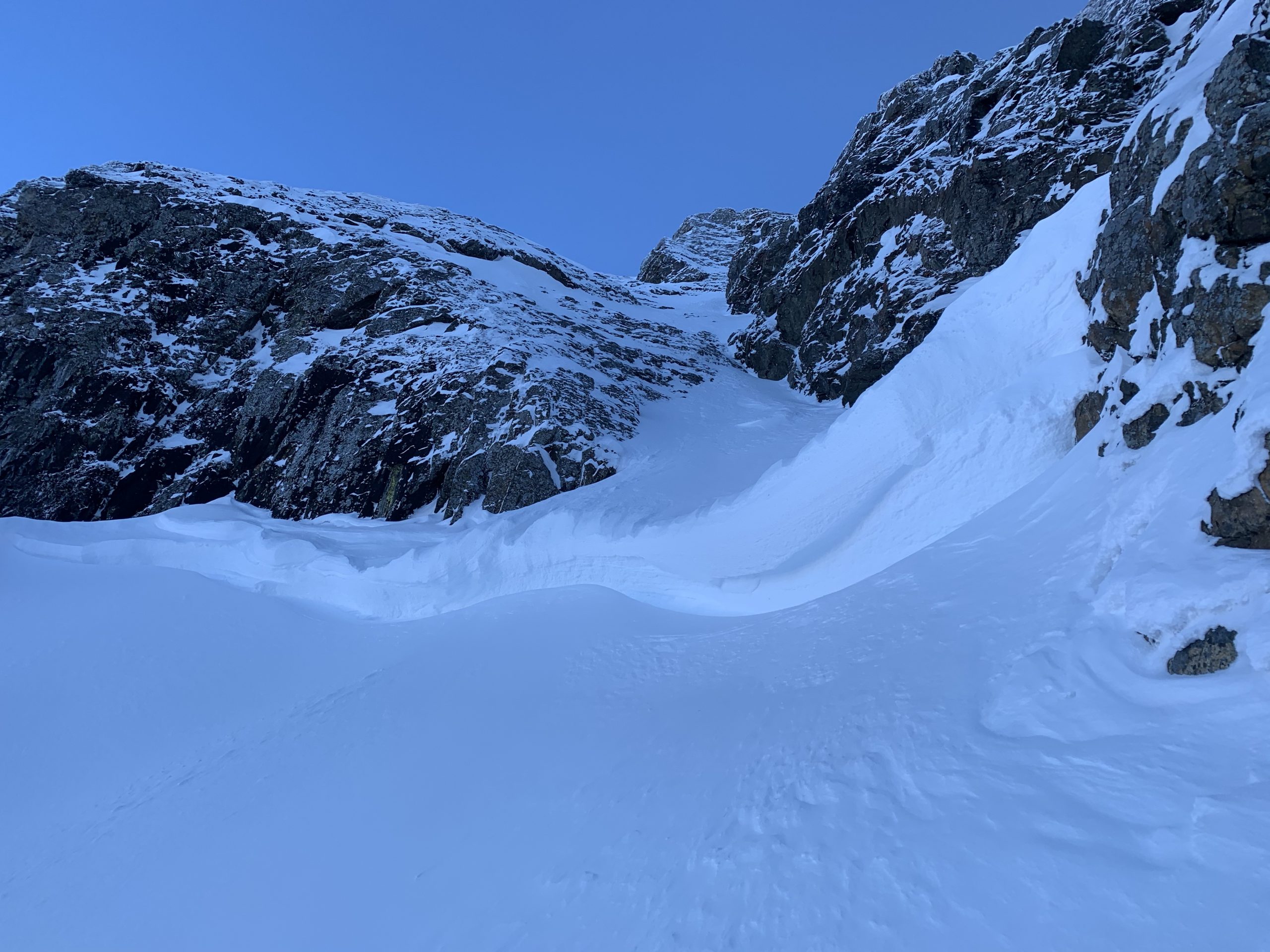
Large crowns (up to ~7ft) from 2/17-20 snow and wind triggered natural avalanche cycle (~3500′ northerly aspects):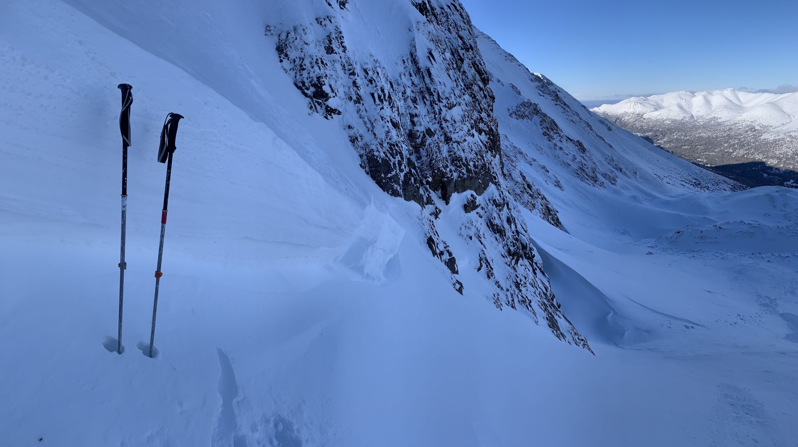
Debris from human triggered wind slab at ~4800′ that ran ~1500′: