
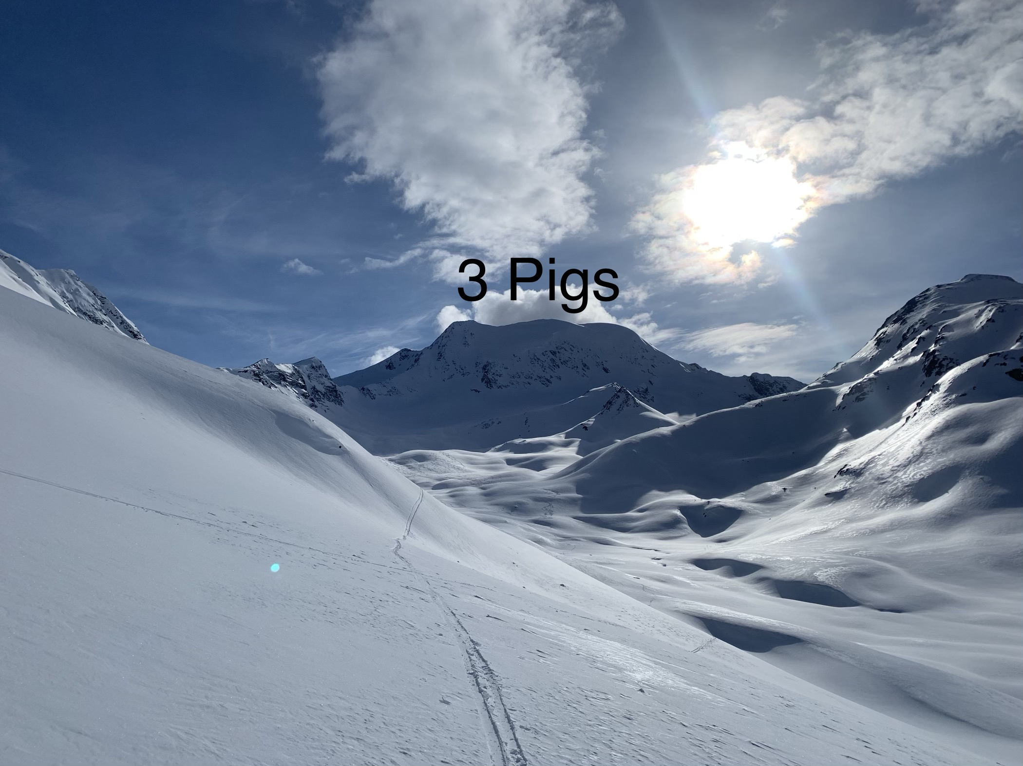
42 Mile Peak, more commonly known as Three Pigs, is a prominent (2000’+) peak at the NW corner (where the the Tsina and Tiekel valleys meet) of the Thompson Pass Richardson Highway corridor in the Central Chugach Mountains. Over an epic window of high pressure from April 13-16, 2019 I climbed and skied from both summits of Three Pigs’ north face (in addition to climbing and skiing Sunyata, Hershey’s Kiss aka Repeater Peak, and Berlin Wall). Conditions were nearly perfect and while the heli from Rendezvous Lodge came out later in the day after I had skied from the east summit, they were respectful (as opposed to other adverse heli experiences as detailed here and here). Given that respectfulness, I can’t say their presence wasn’t welcome being that far out in the backcountry skiing big and committing lines solo.
Looking up Stuart Creek from the entrance of the valley that accesses Three Pigs’ north face: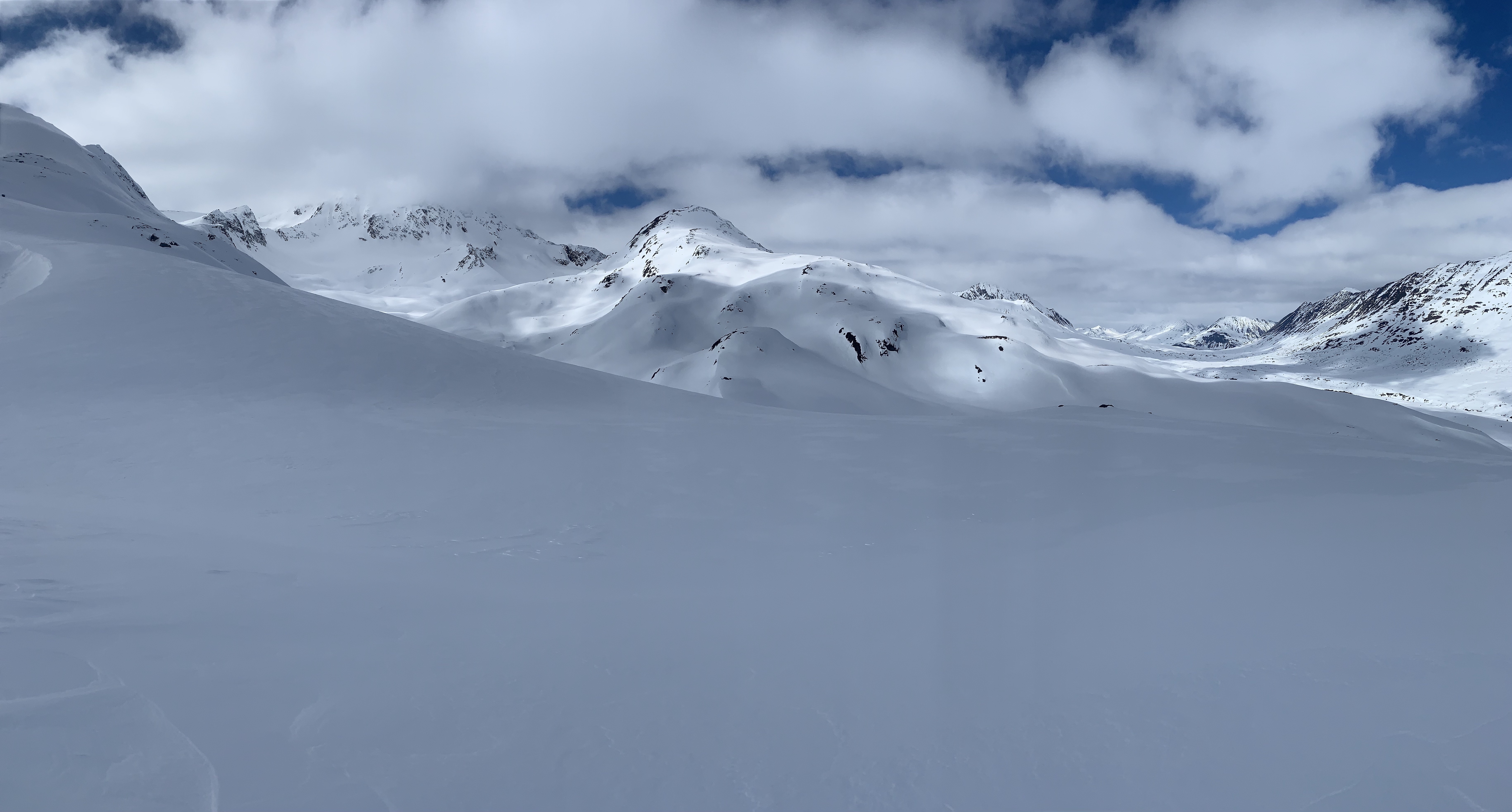
Looking down the Three Pigs north face valley back at Peak 6504 (another prominent Central Chugach peak – stay tuned for a summer trip report on this one):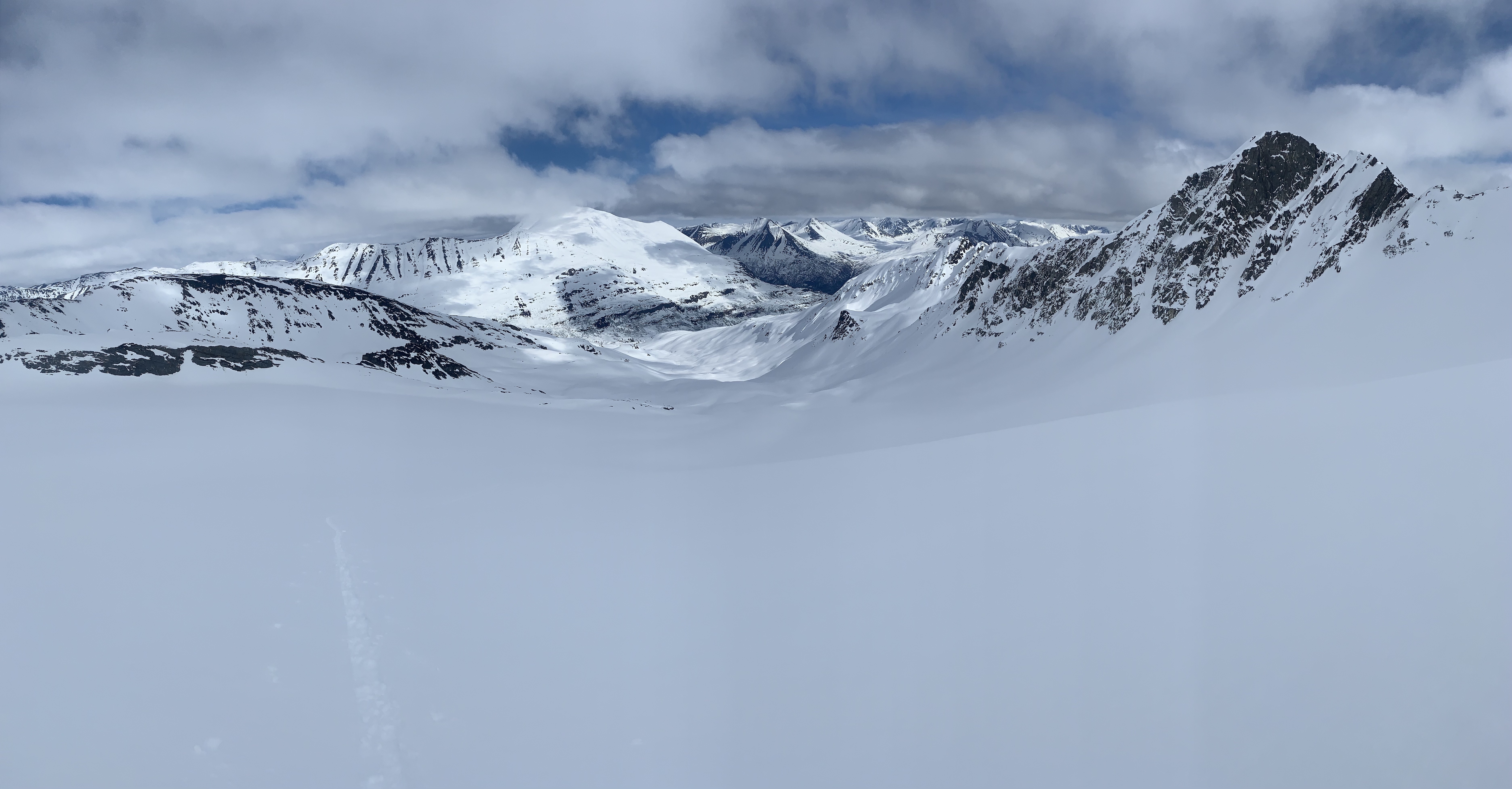
Looking up at Three Pigs north face from the base: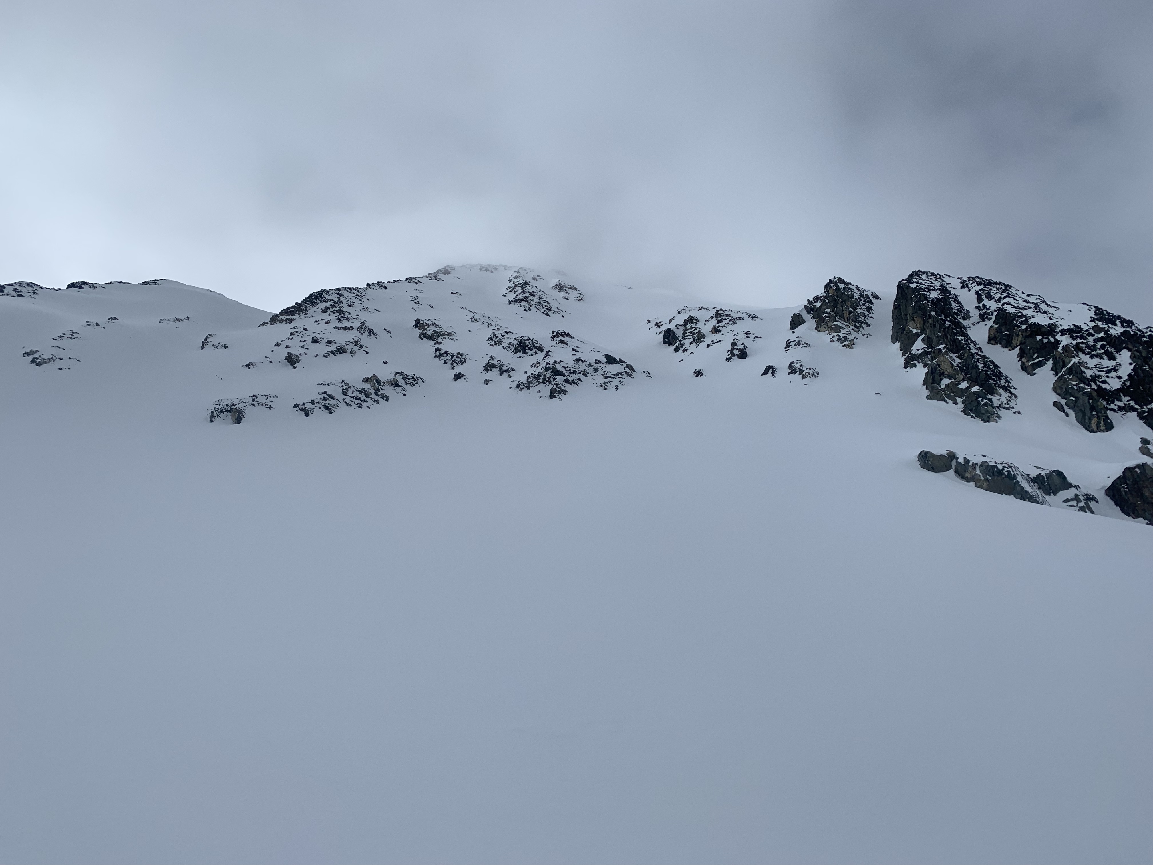
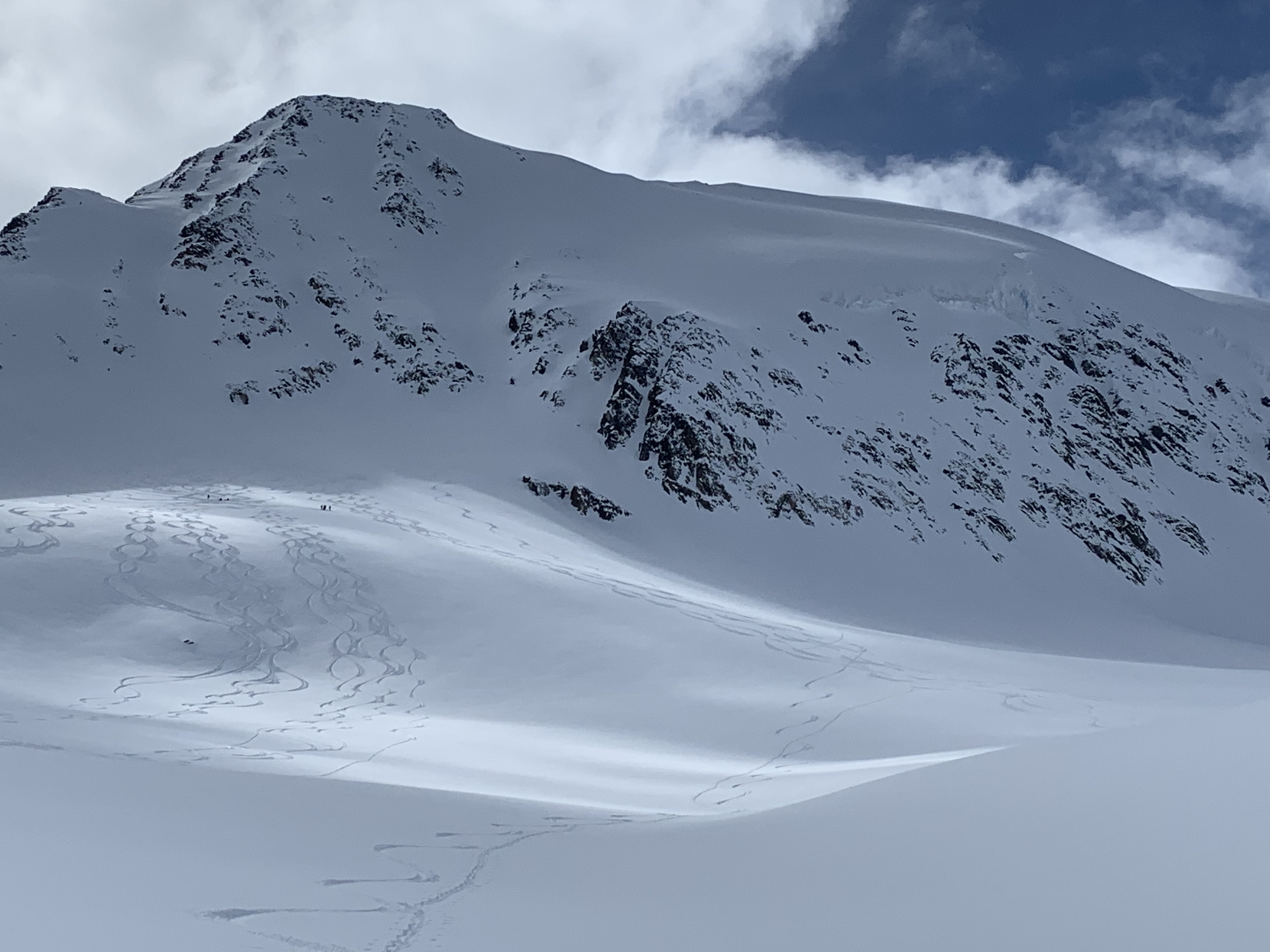
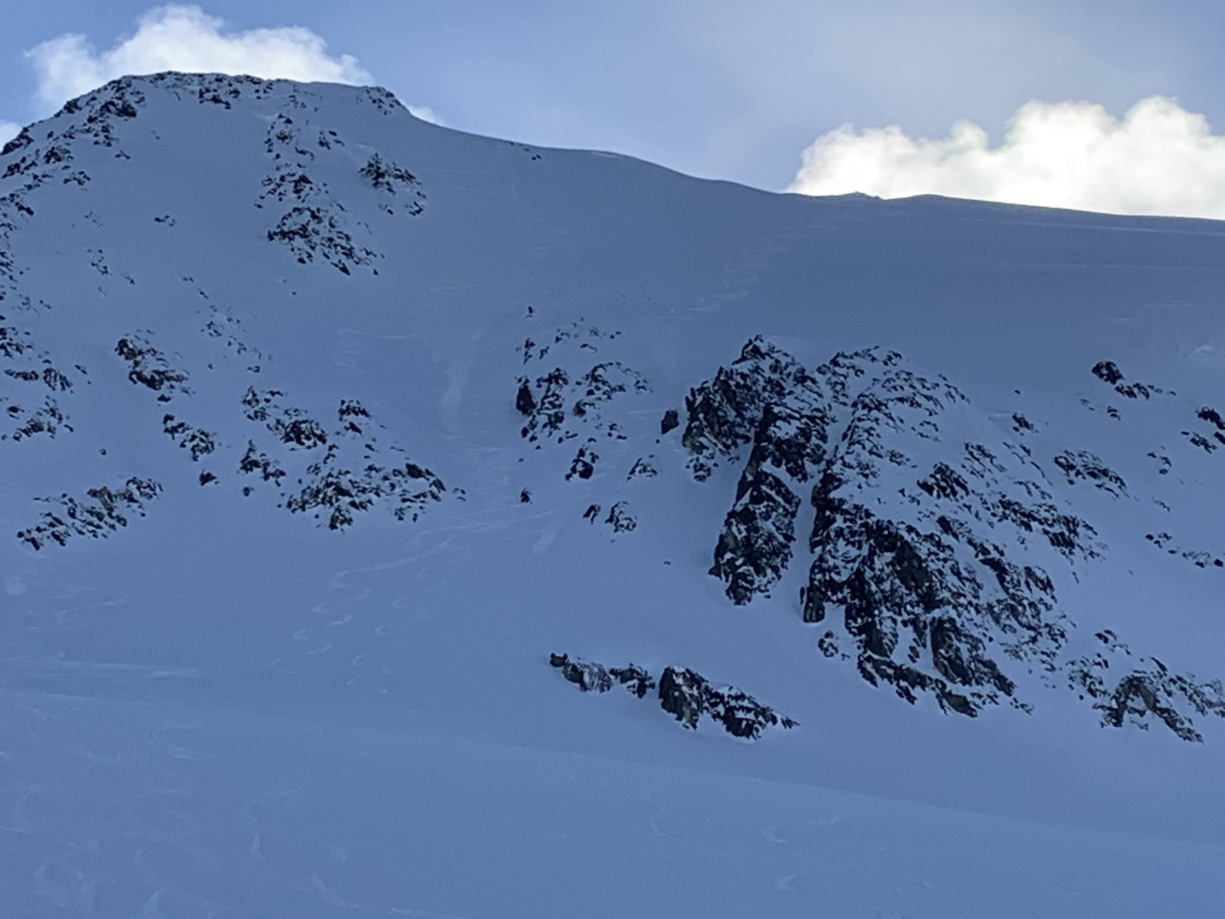
I climbed and skied from the east summit of Three Pigs first. It’s hard to tell which summit is the highest, so I had to be sure to tag them both. I tagged the west summit on a second lap up the north face, as there are plenty of lines to choose from on the big face. After skiing my first run from the east summit, the Rendezvous heli showed up. While the valley was virgin before I got there, a couple large heli groups tracked it up quick. Initially they skied lesser peaks and smaller lines in the area, eventually working up to Three Pigs itself (although not from the summit). You can see their tracks from the lower shoulder in these shots, which were taken after I’d skied from both summits. While I could appreciate their presence, as I was out solo, it was a shame to see that much pow harvested so quickly in what is still a relatively reasonably accessible area for non-motorized users (and easily accessible by non-commercial motorized users on sleds):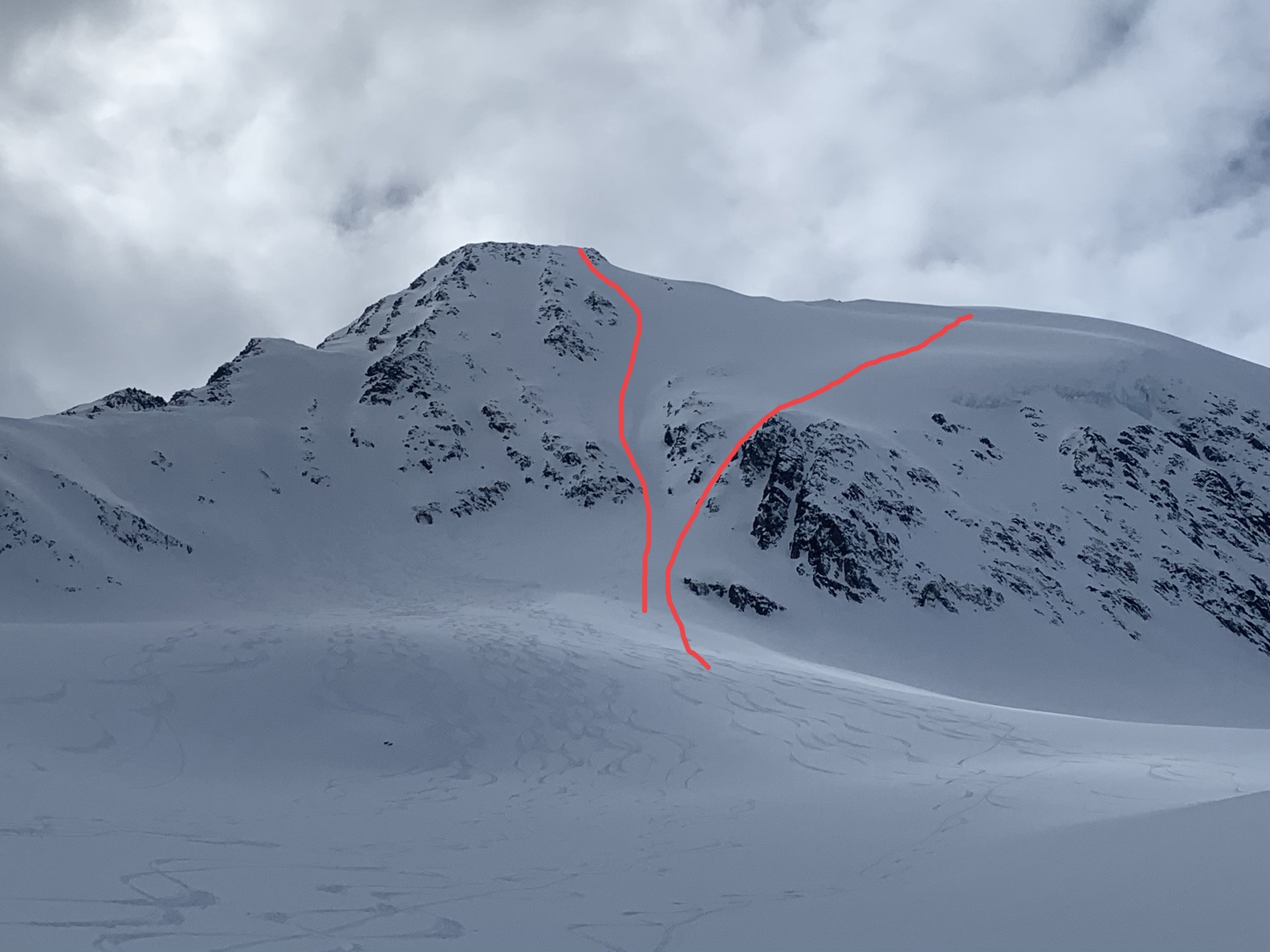
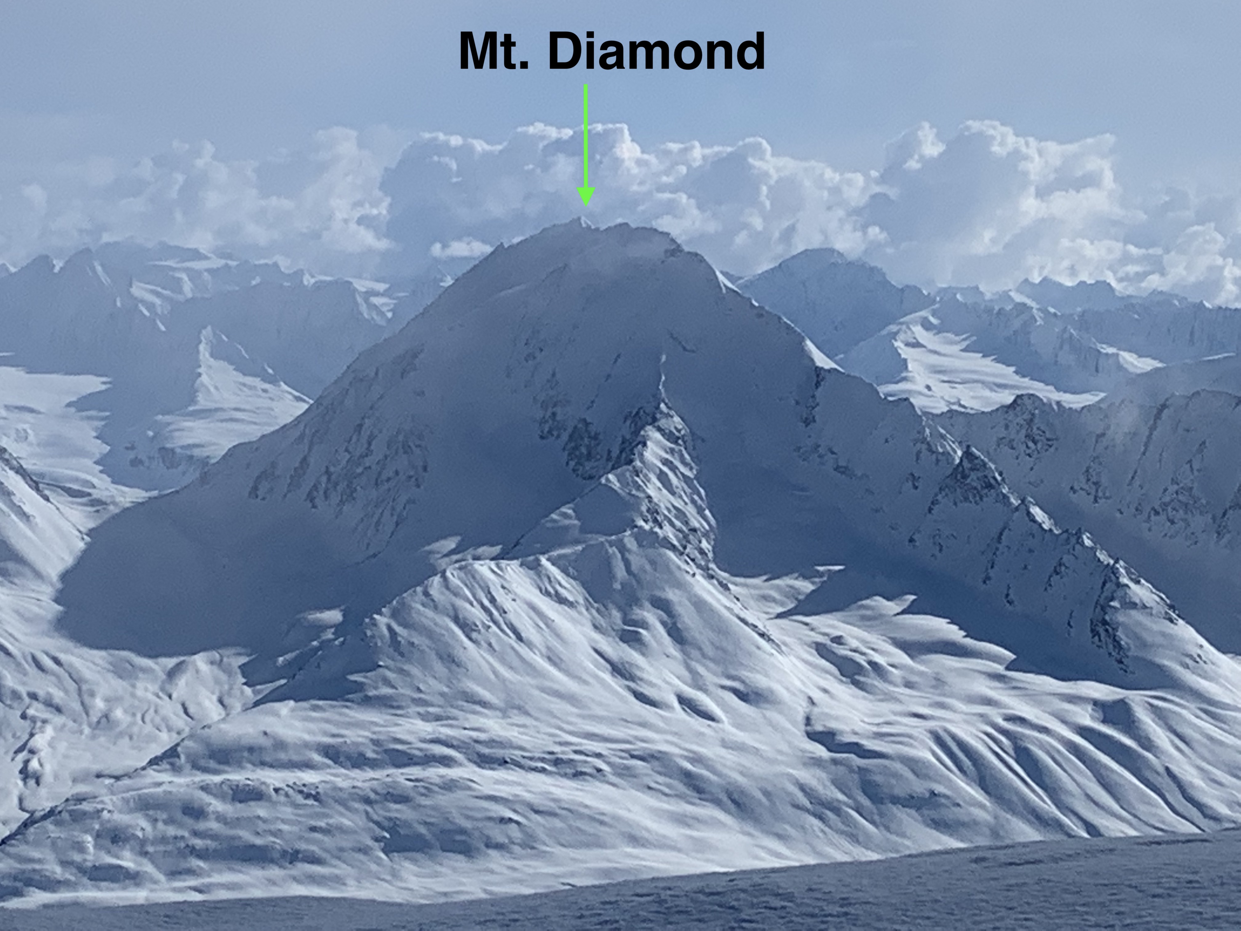
View NE from the E summit: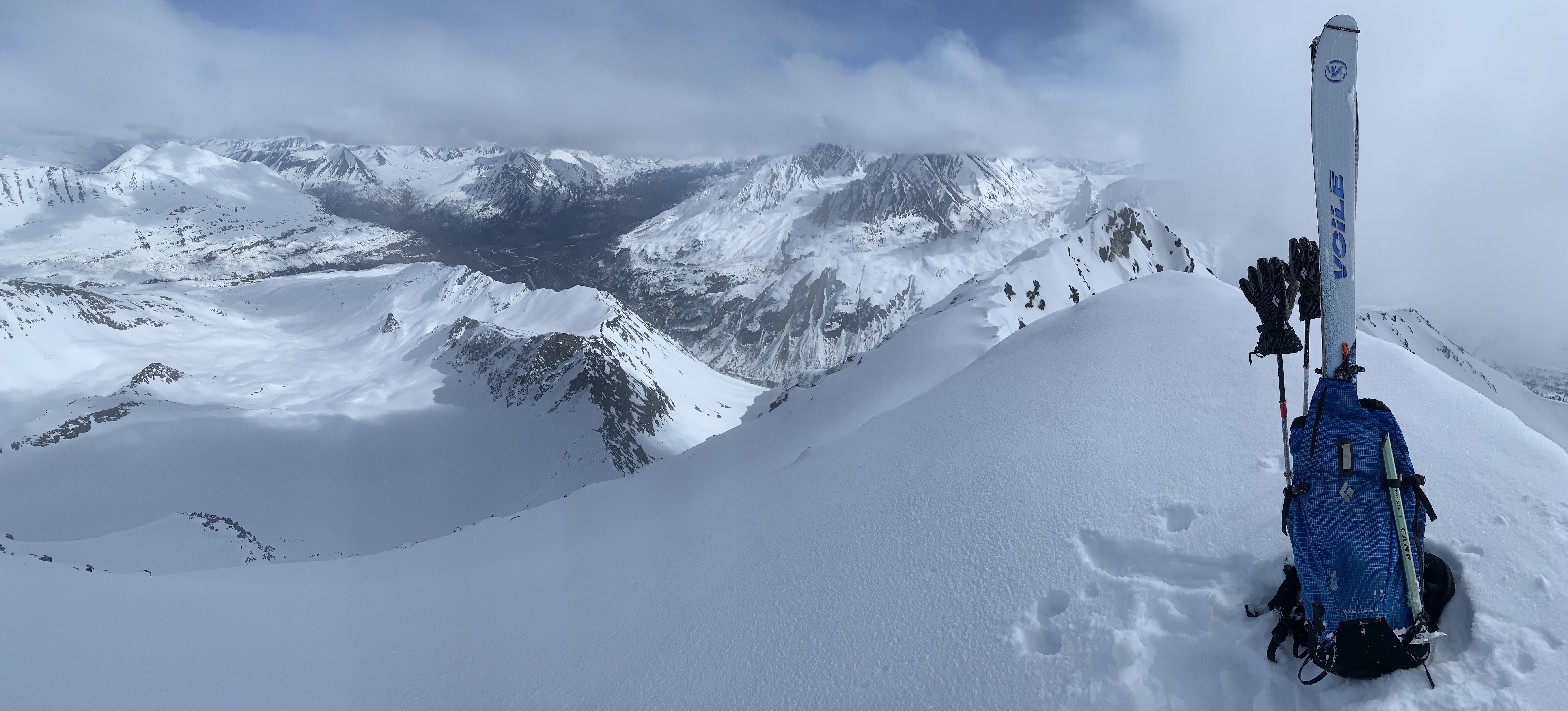
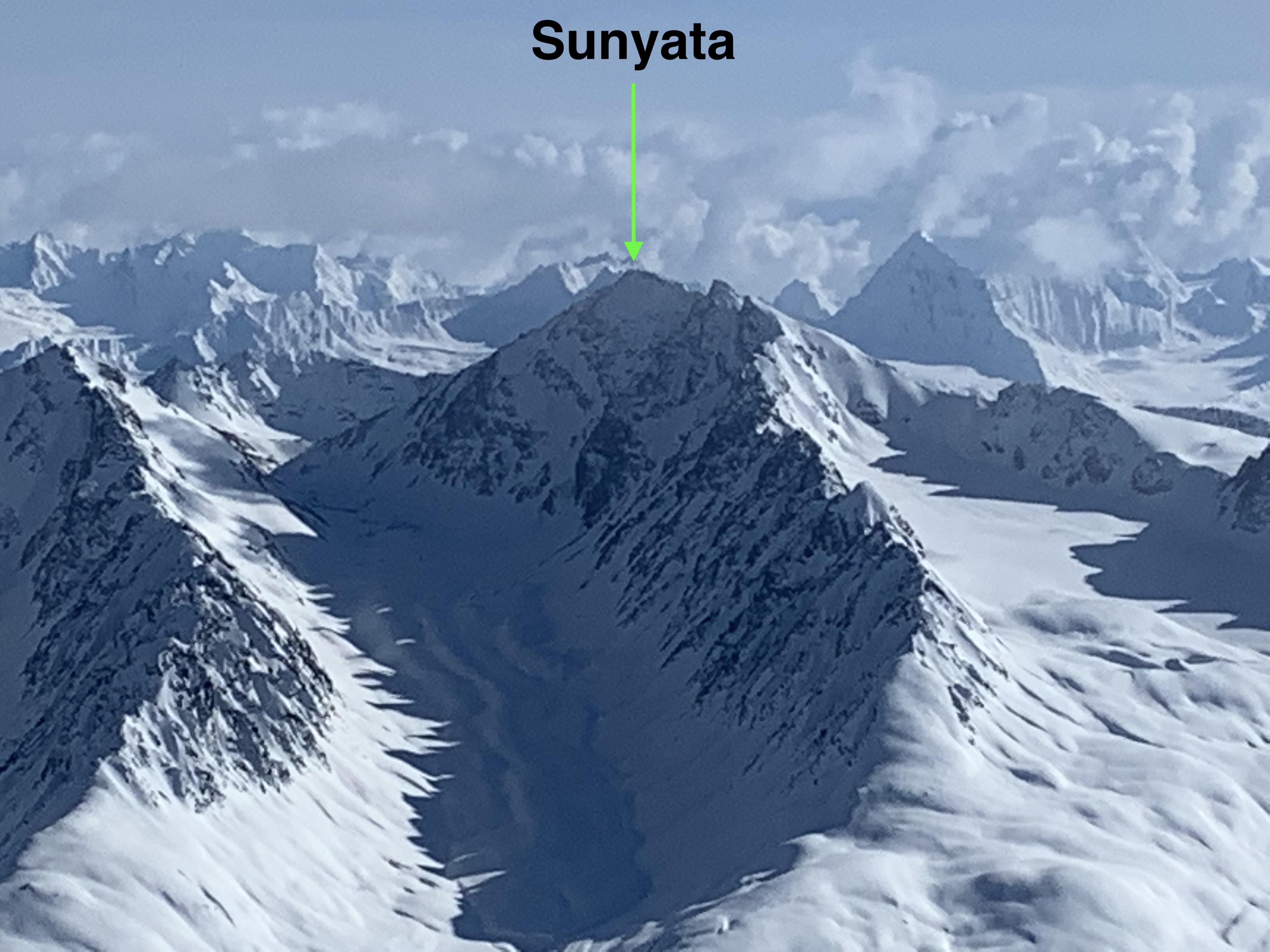
View N from the E summit: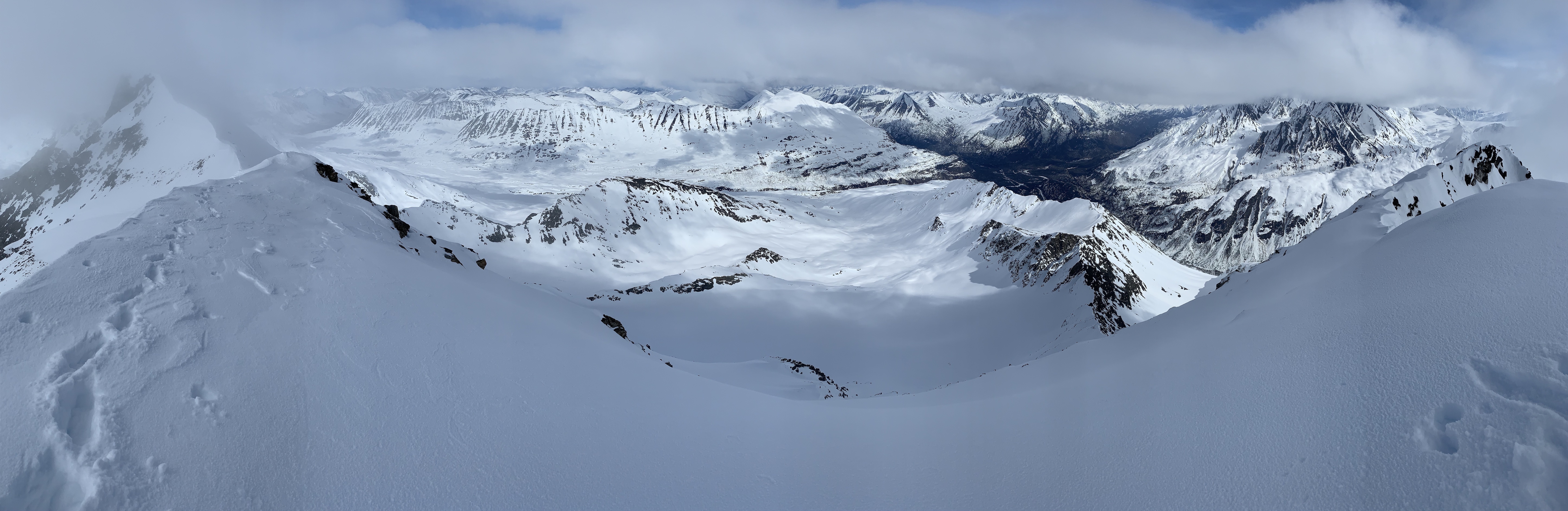
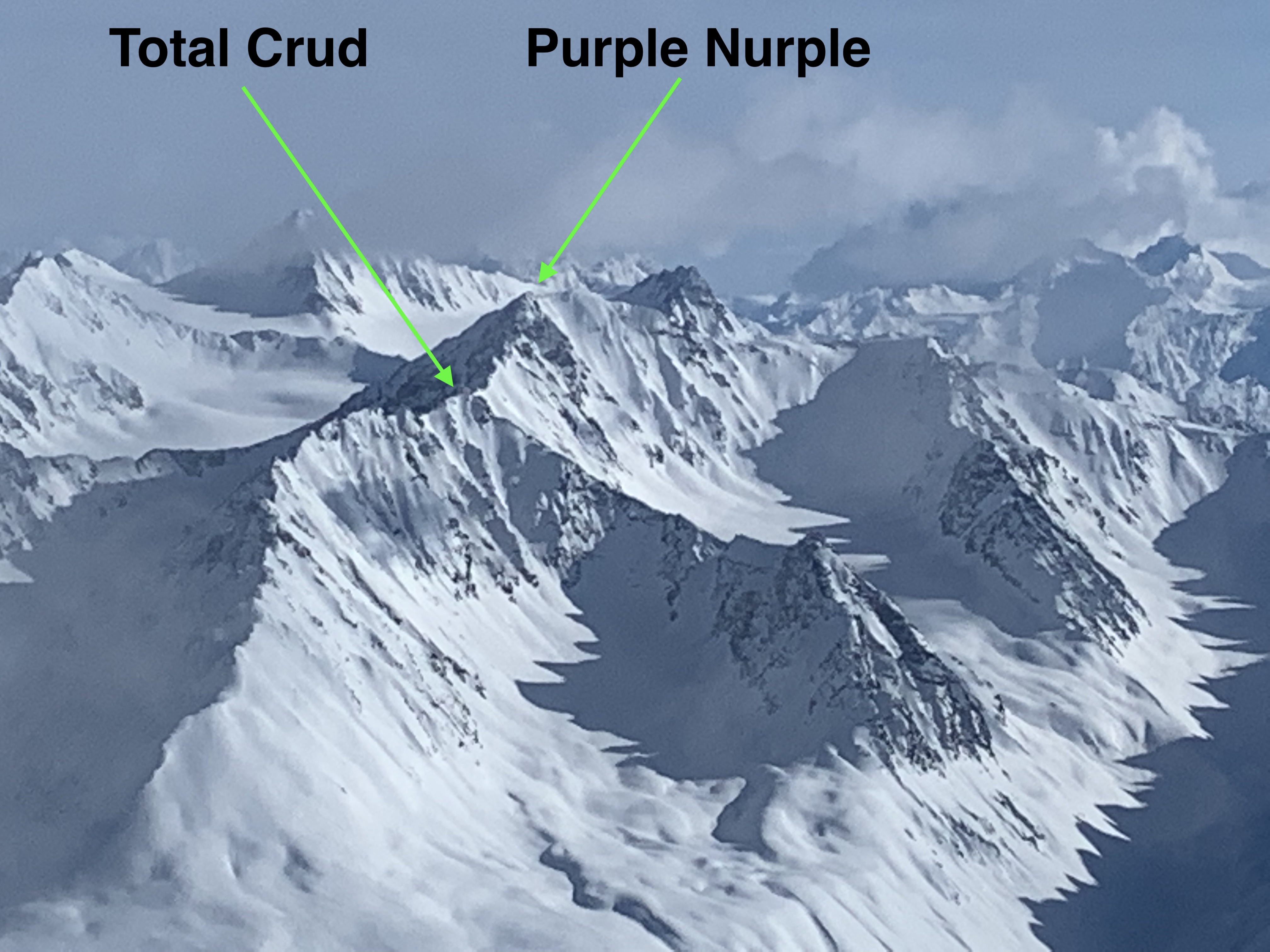
View E from W summit: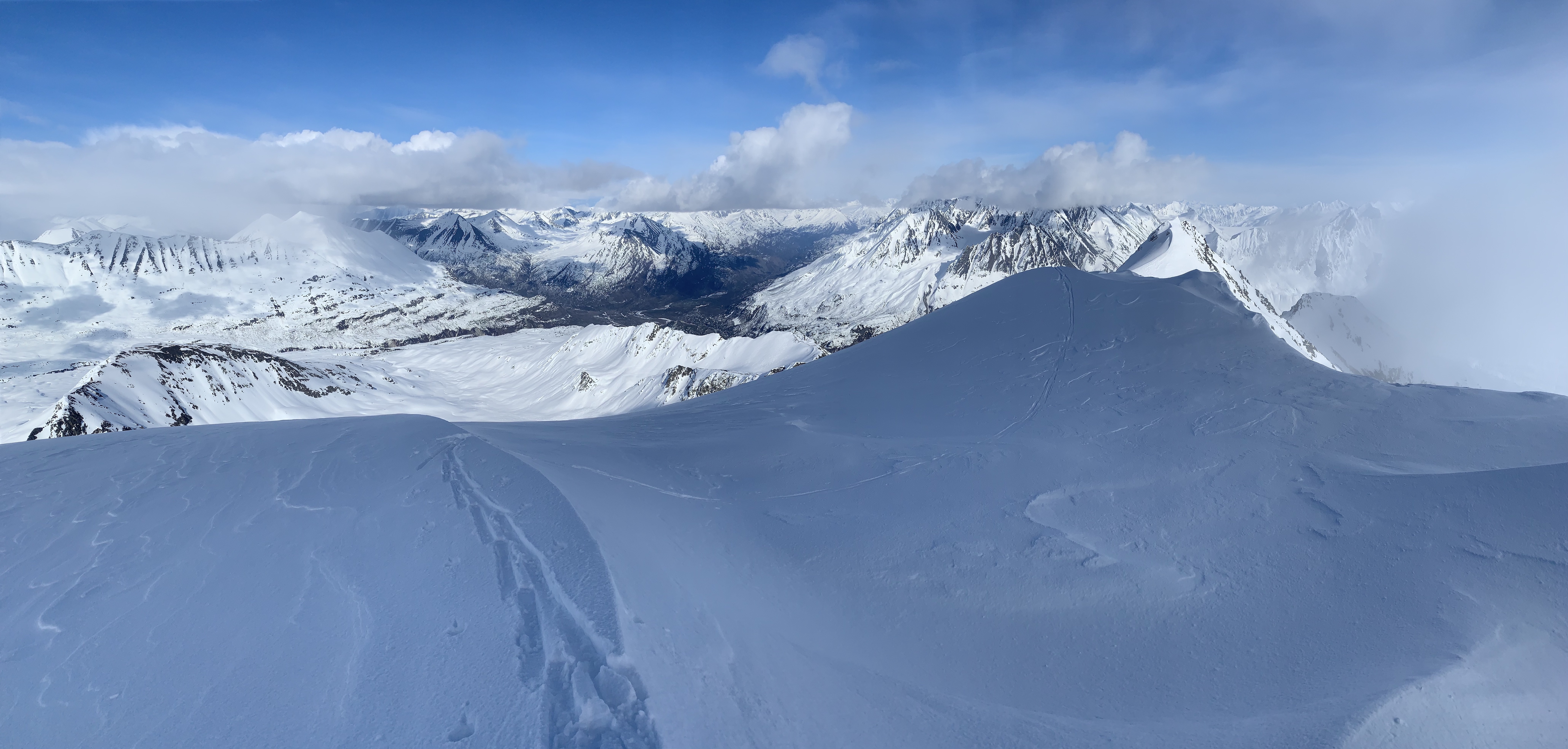
View W from W summit: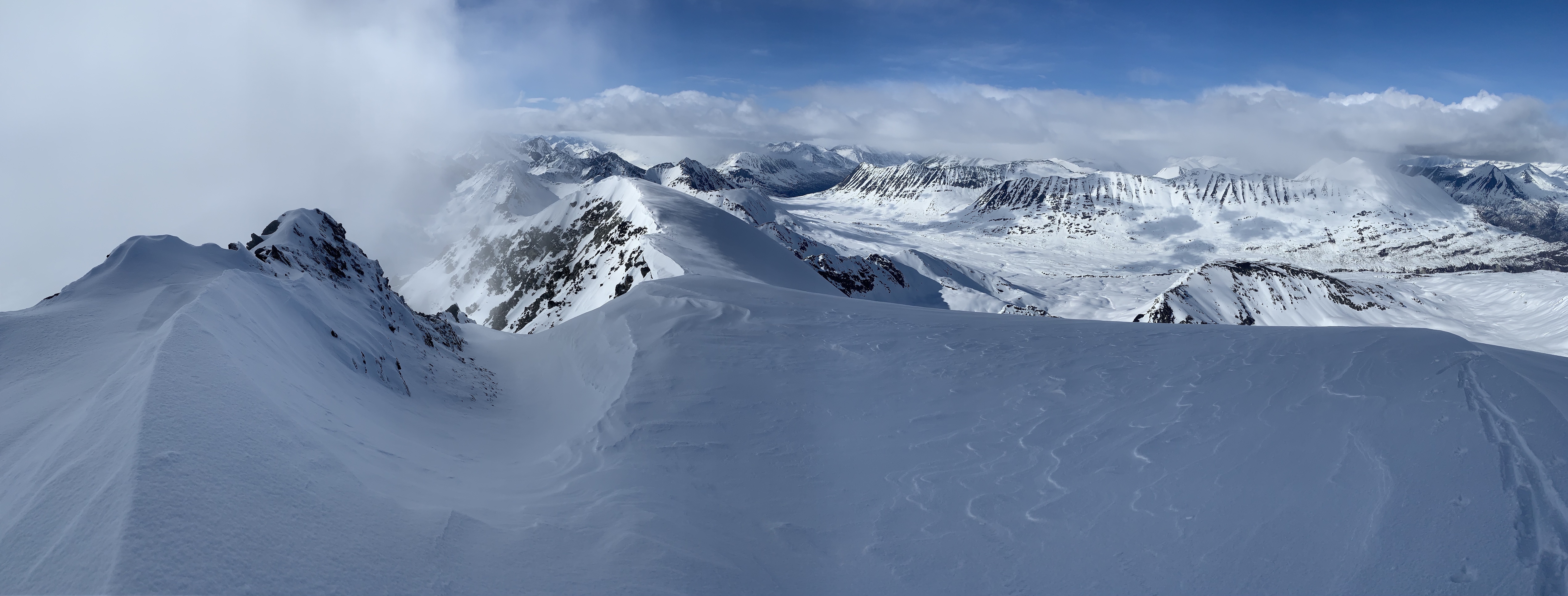
View S from W summit: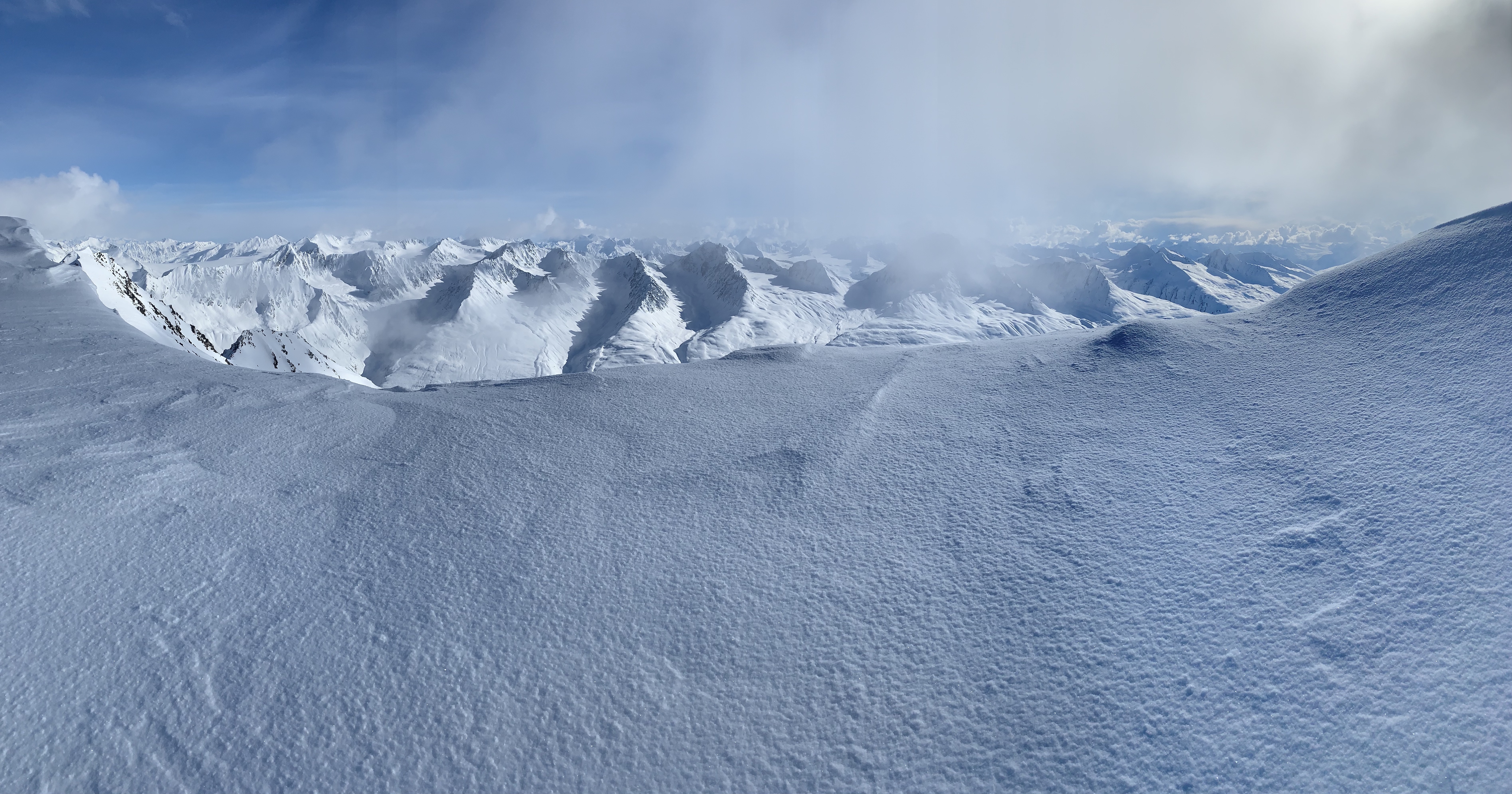
Looking south from the west summit I was able to take in some very nice views of the popular zones on the south side of the Thompson Pass Richardson Highway corridor. Follow the links for associated trip reports.
Doug Coombs memorial on Staircase (here, here, and here):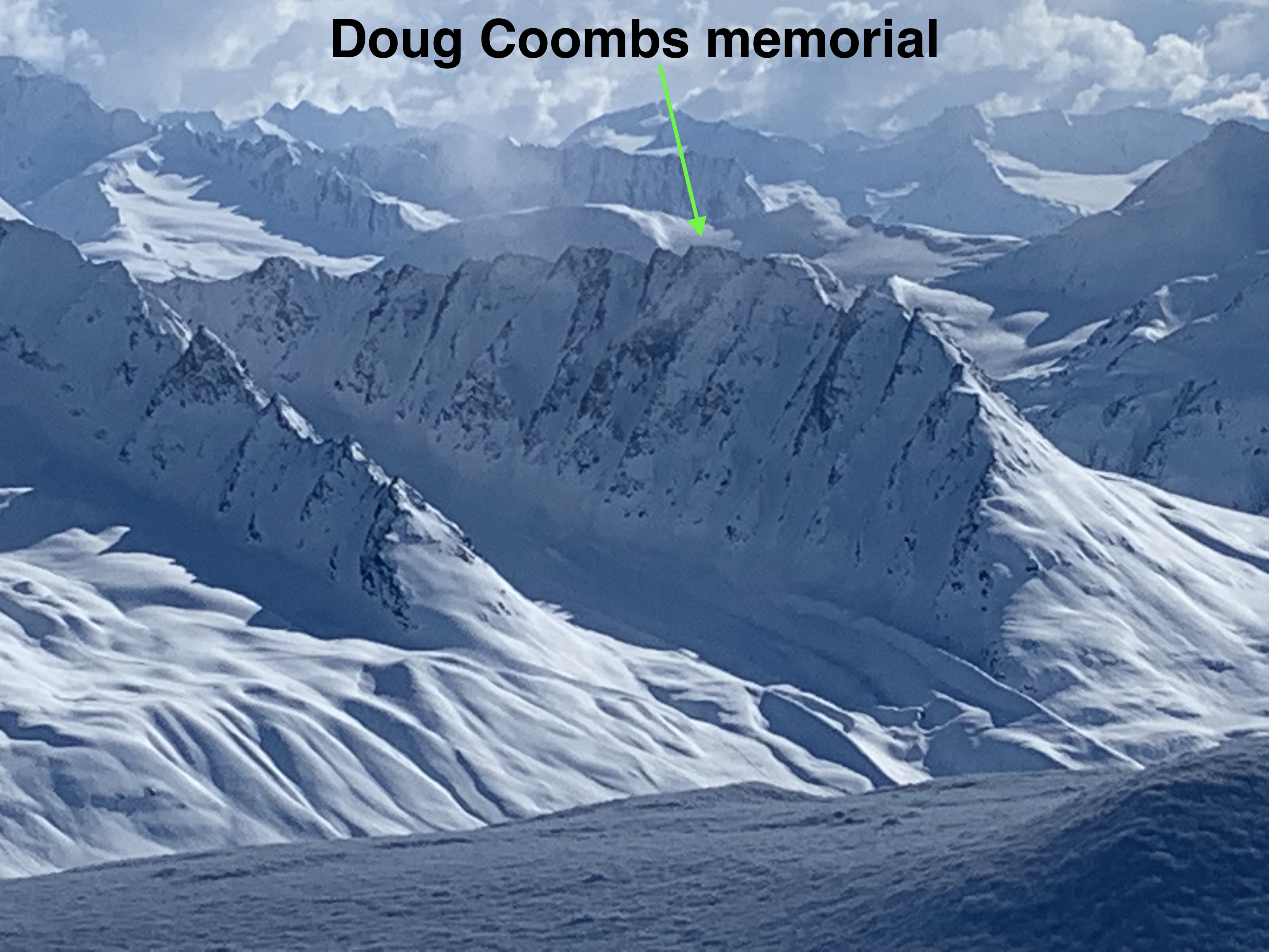
Short video with lots of eye candy: