While the snowpack is still remarkably meager, there is some good news to report today (click the links to learn more).
The warm temperatures and thawing of the snowpack last week followed by recent cooling and re-freezing, has had a generally stabilizing effect on the snowpack. Previously thawed and now re-frozen layers near the surface, which will provide less than desirable riding conditions until we receive more snow (but good conditions for climbing), have contributed to “locking” the snowpack into place with generally strong and supportable crusts. The several days of warm temperatures and thawing last week also contributed to a benign metamorphism of buried snow grains that comprise potentially dangerous persistent weak layers (depth hoar at the base of the snowpack and facet-crust combos and surface hoar mid-pack).
There also isn’t much loose snow available for transport and wind loading, so wind slab development will be limited until we receive more snow. However, in the higher elevations of Chugach State Park relatively small and isolated wind slabs may be a concern as some pluming was observed over the weekend.
Chances for precipitation look to increase Thursday through the end of the week, and the incoming lows that will deliver this precip look more favorable for snow (at least in the mid to upper elevations) than the last active weather pattern that brought us warm temps and rain.
As the quiescent weather regime that we’re currently under begins to transition to a more active pattern on Thursday, there are some things to keep in mind:
Surface hoar and faceting at and near the surface will create new layers of concern when we receive more snow and these layers are buried. Winds picking up before the next snow event will be helpful in reducing the negative impacts of surface hoar and facets that could be buried, but either way it will be important to keep the previous snow surface in mind once it is buried. The relatively slick crusts, whether or not they’ve been faceted or have intact and standing surface hoar on them, will provide a bed surface or weak interface on which new snow could slide. It will take time for new snow to bond to surface crusts, especially if new snow comes in cold and dry. Where surface hoar and facets exist, especially on top of slicker and harder crusts, we’ll have a good bed surface and weak layer recipe for avalanches.
We also need to keep in mind the development of new facet-crust layers or interfaces that may become potentially dangerous if cold temperatures continue to provide a temperature gradient within the snowpack that will contribute to further and more pronounced faceting in the vicinity of crusts. When digging snowpits and conducting stability tests, pay attention to the grains directly above and below crusts and how they interface with the crust; how do these facet-crust layers react in stability tests?
Additionally and as mentioned above, while the recent thaw-freeze cycle has generally contributed to stabilizing the snowpack and “healing” potentially dangerous persistent weak layers…that doesn’t mean the layers of depth hoar, surface hoar, and facet-crust combos that contributed to several human triggered avalanches in the past several weeks are no longer a concern. You will need to dig in the snow, examine these layers, assess how they react in stability tests, and make your travel decisions accordingly. Please let the Anchorage Avalanche Center know what you find (submit your observations)!
As mentioned in the previous advisory; treacherously icy roads, undesirable to unsafe travel conditions in the mid to upper elevations, lack of public backcountry use of Chugach State Park’s mid to upper elevations, and a coinciding lack of observations have hindered gathering the information necessary for providing a more thorough and accurate description of snow and avalanche conditions.
As always, it’s up to YOU to conduct your own assessment of conditions and make your own decisions accordingly! The information provided here is only one piece of the puzzle and is provided as a reference point to help enhance your awareness of conditions. It is not a substitute for the requisite level of training and experience you need to keep yourself safe in avalanche terrain.
In other news, a young but gifted and experienced climber perished on Mt. Yukla in the upper Eagle River valley Sunday. Dasan Marshall died doing what he loved. Rest in peace. Our deepest condolences go out to his family and friends.
Risk is an unavoidable element of backcountry and mountain pursuits. No matter one’s ability or level of experience, accidents can happen…but please be safe out there. Don’t overestimate your abilities, and don’t underestimate elements of the mountain experience like the subjective and objective hazards.
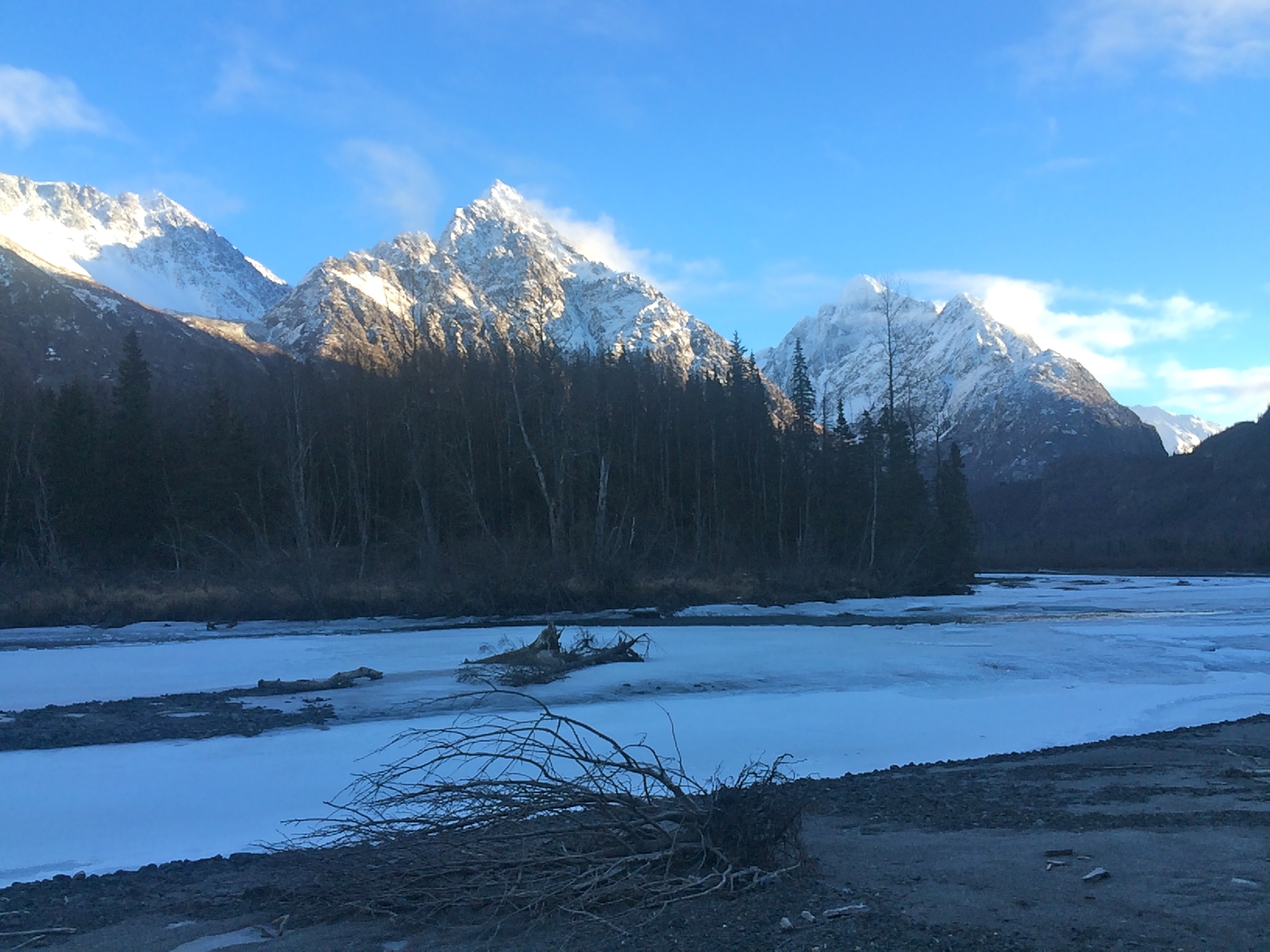
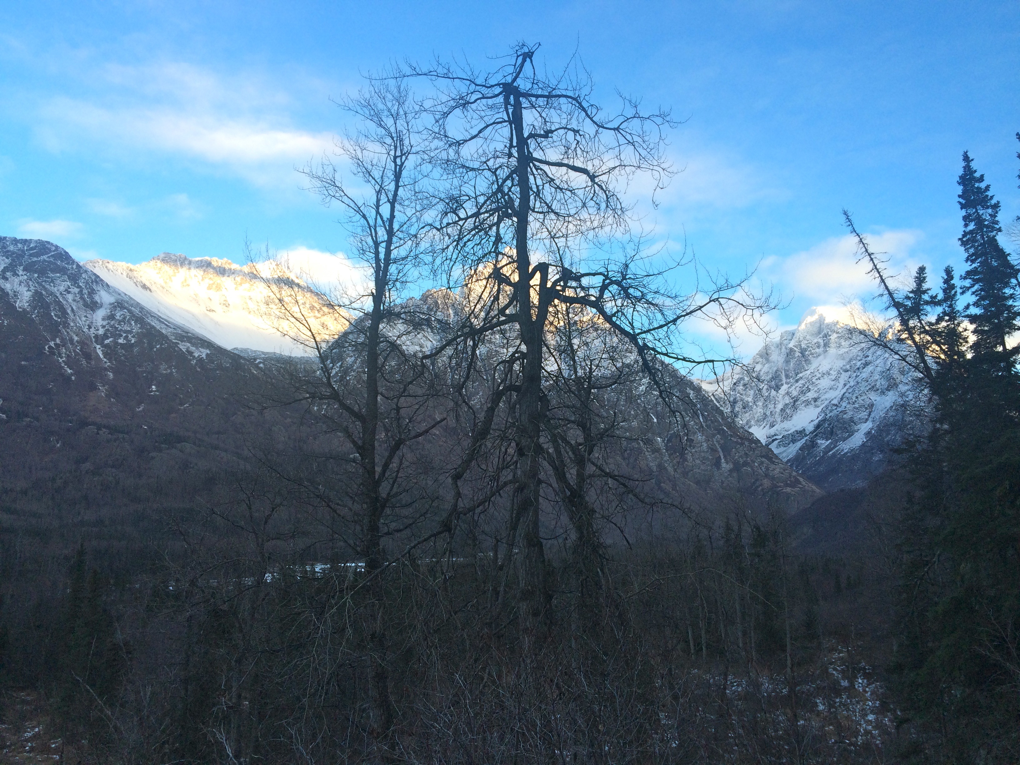
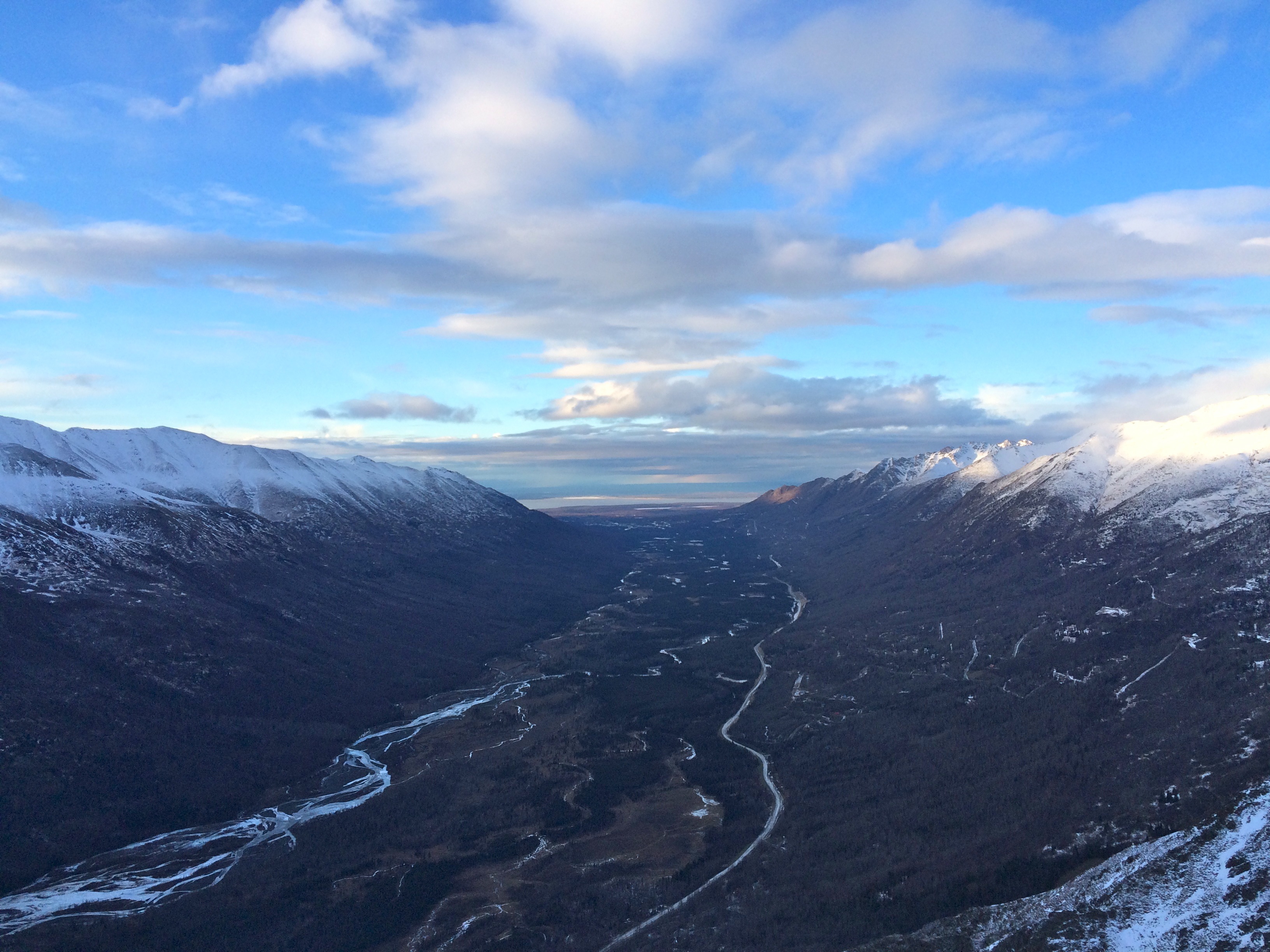
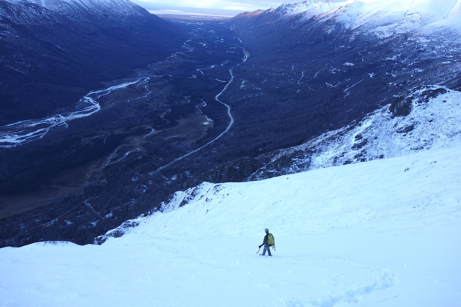
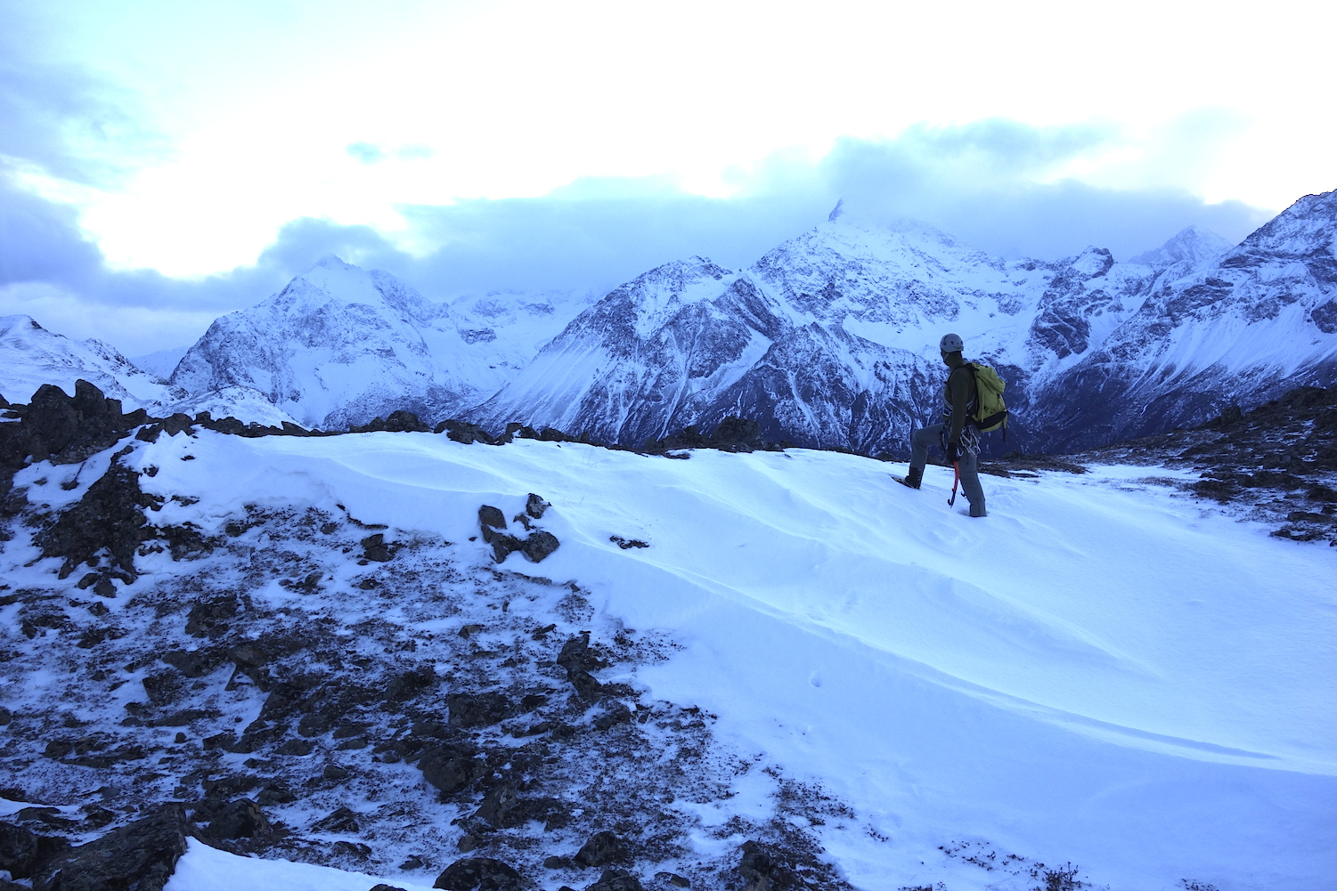
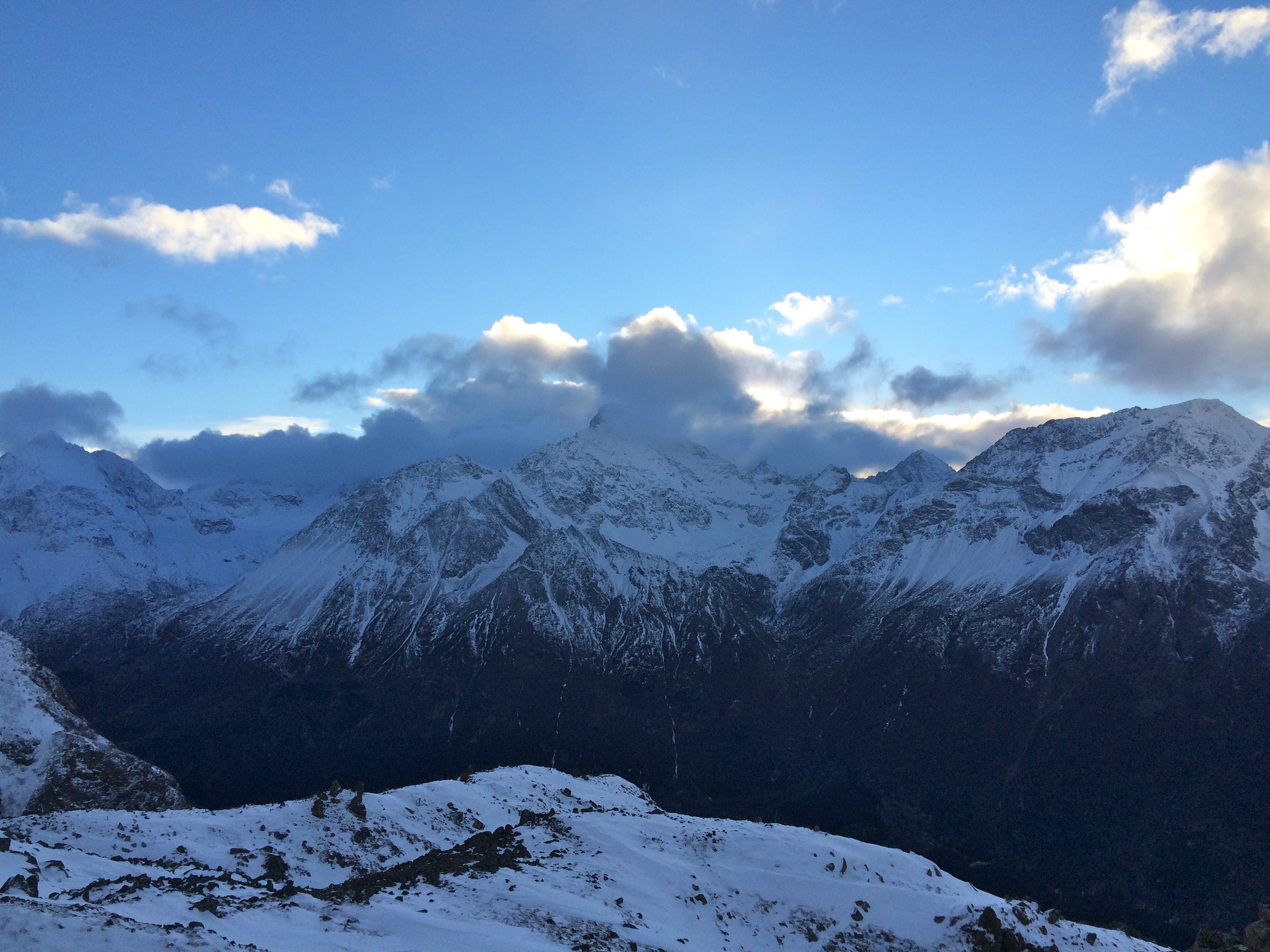
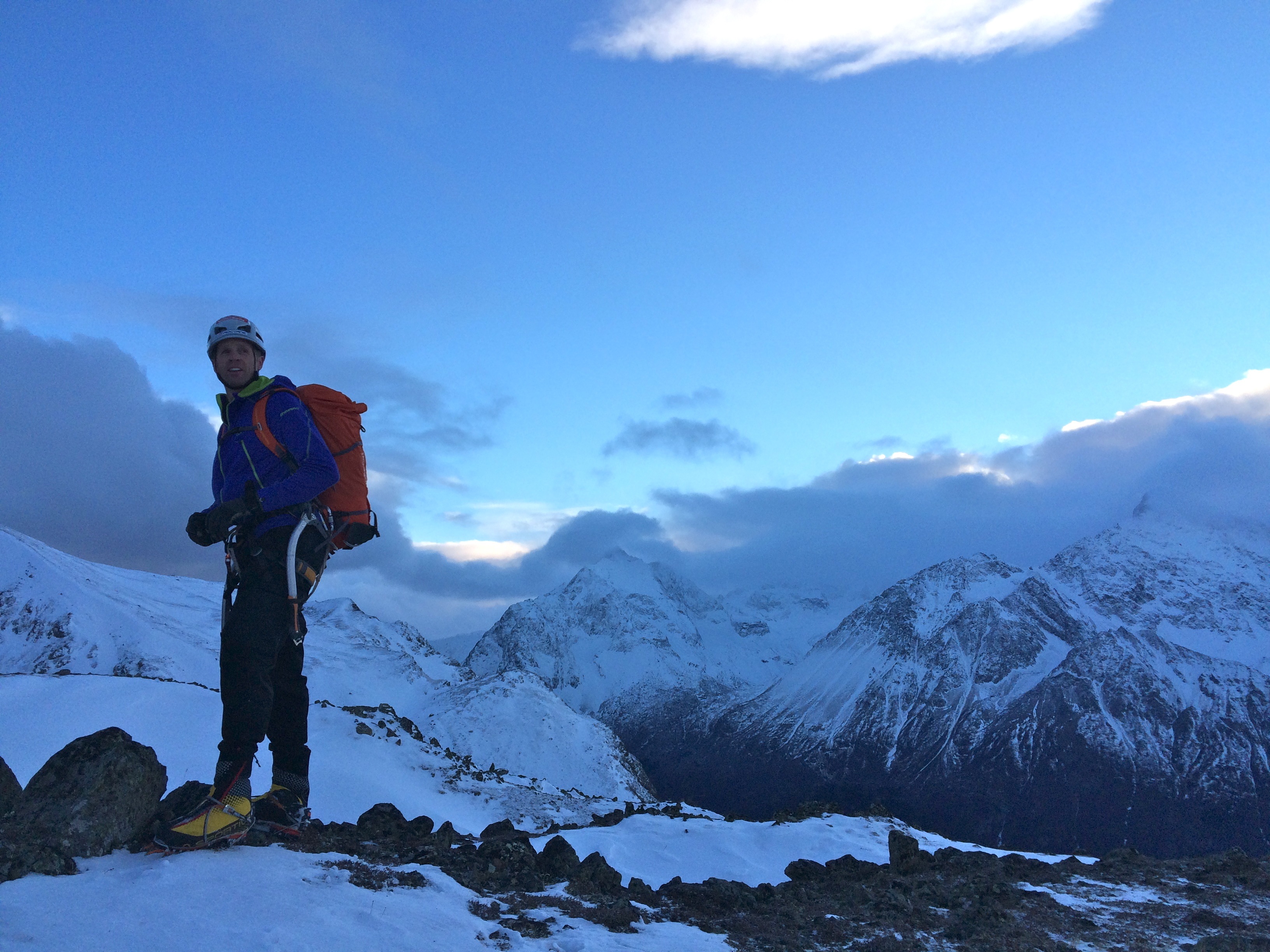
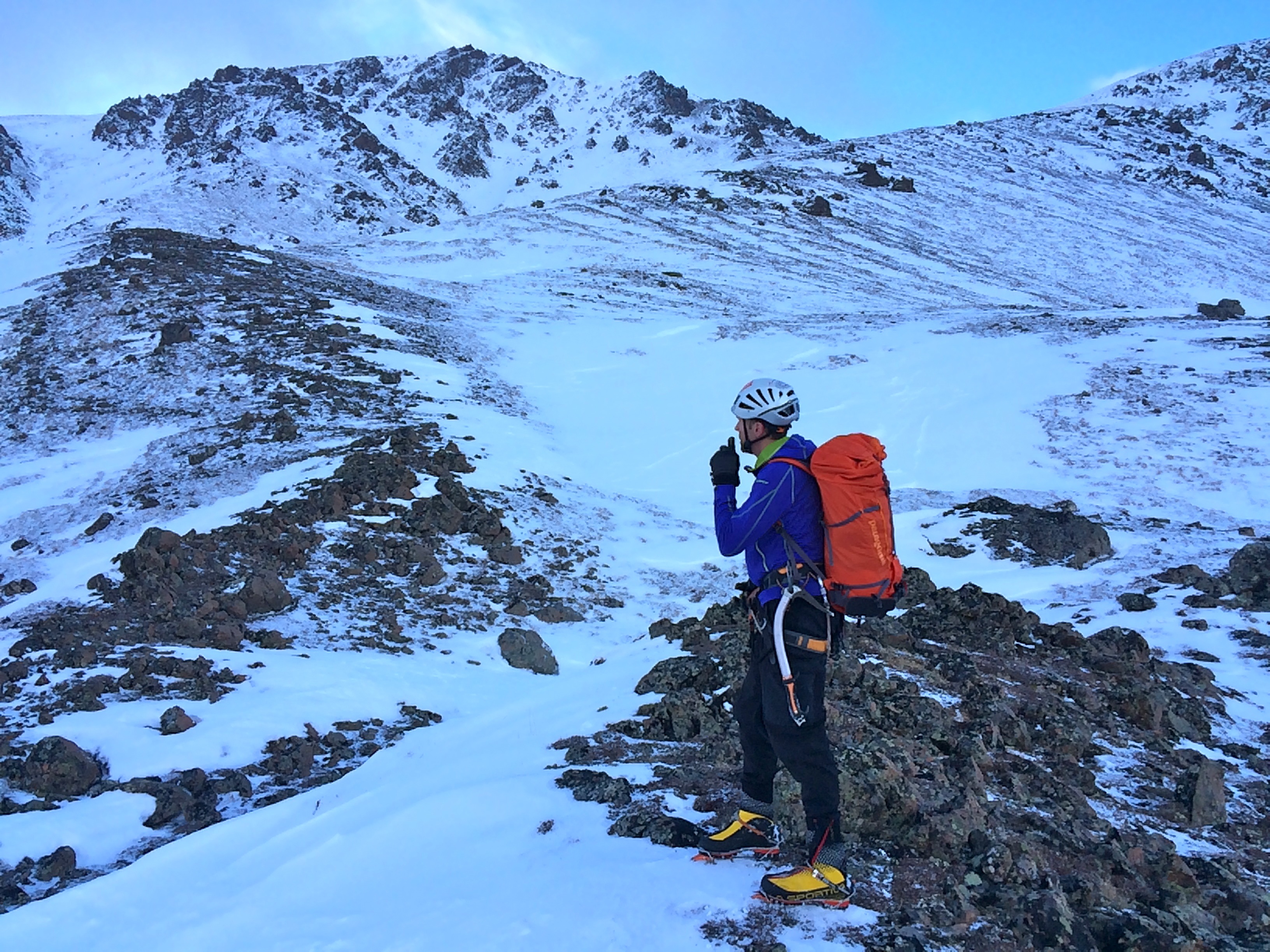
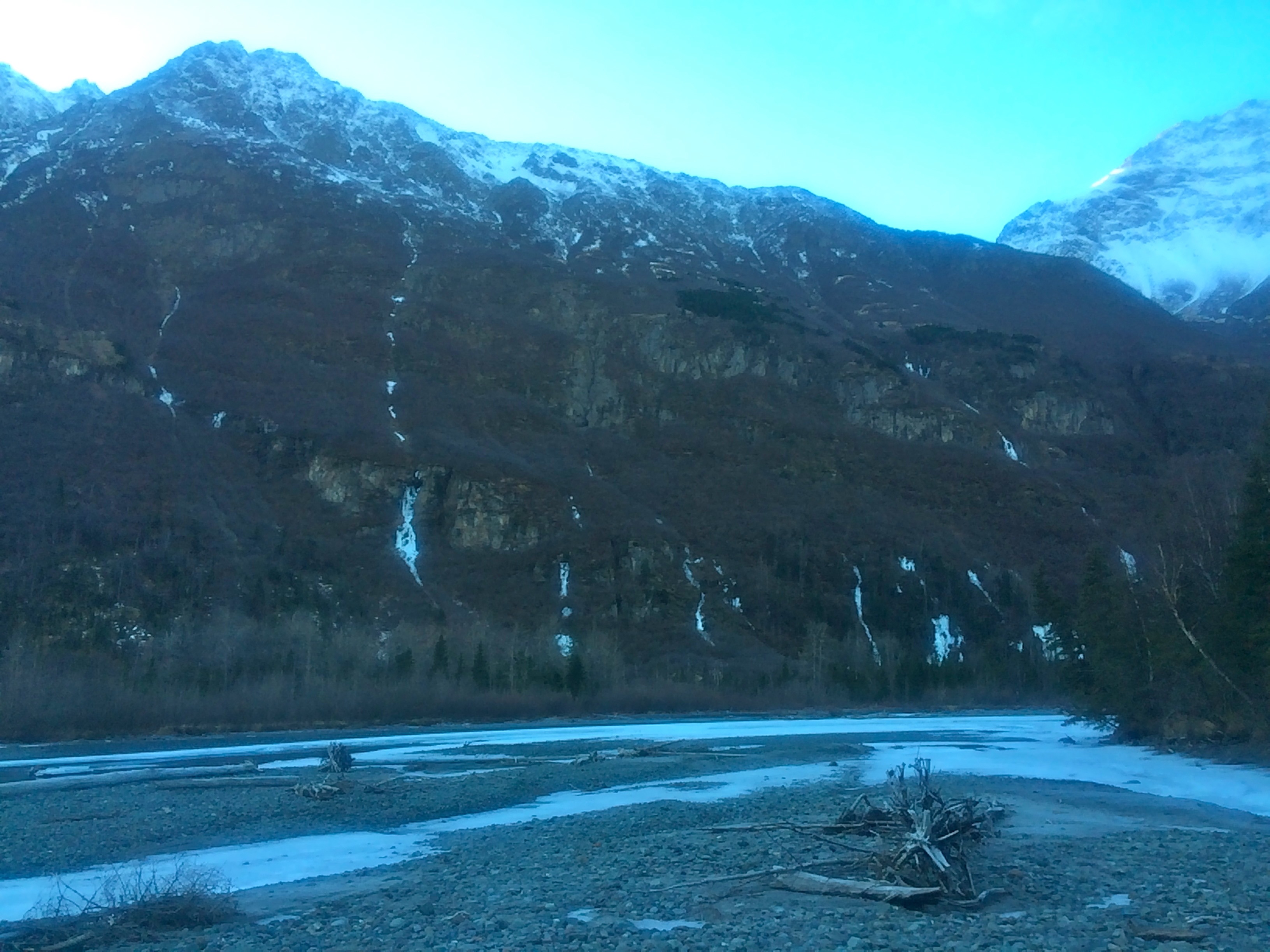
Below are some photos of conditions in the Eagle River valley from the weekend (January 17-18, 2015).
Looking down the Eagle River valley from a sub-ridge of Cumulus (1/17/15):
Eagle & Polar Bear from a sub-ridge of Cumulus (1/17/15):
Alpine snow coverage, SW aspect, Cumulus (1/17/15):
Snow coverage, NNE aspect, sub-peak below Eagle and Hurdy Gurdy from Echo Bend area of Eagle River (1/18/15):
Yukla area snow coverage from Echo Bend area of Eagle River (1/18/15):