Saturday:
The danger rating and information provided below is only intended to be valid for 3/8/14
Click here to see the complete danger scale
The avalanche danger is expected to be at the low end of moderate today, primarily for small wind slabs in the upper elevations (above 3500′) near peaks and ridge crests and small loose snow avalanches (sluffs) on steep upper elevation terrain.
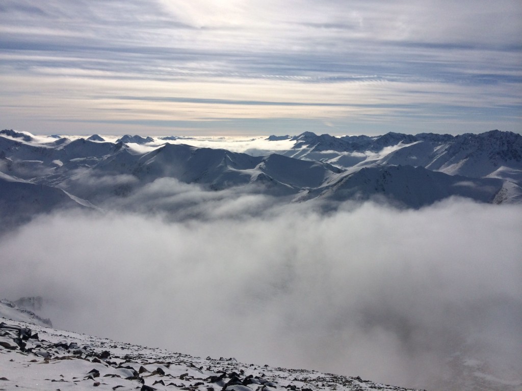
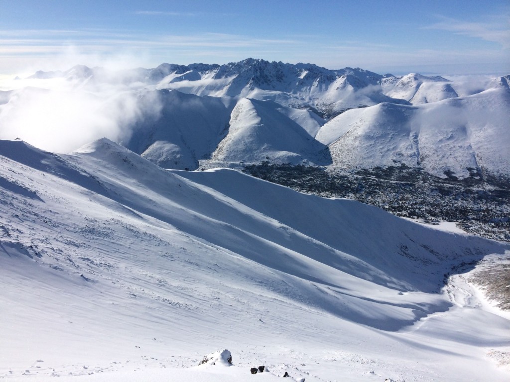
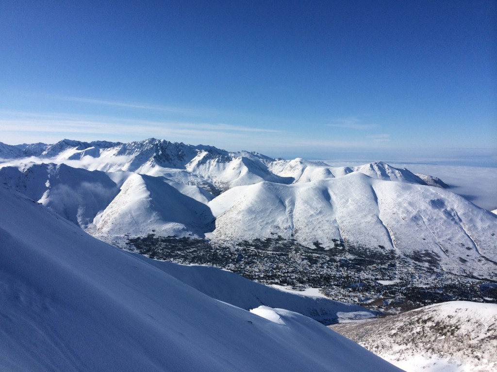
The Front Range and Eagle River area Chugach generally only picked up 2-6″ of new snow from Wednesday’s storm. Riding conditions have improved marginally – more so in areas that weren’t previously tracked.
Concerns:
Click here to learn more about this type of problem and how to manage it
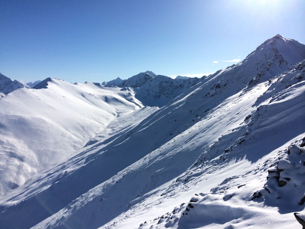
Winds picked up for several hours Friday night – enough to transport, redistribute, and likely build small upper elevation (above 3500′) wind slabs near peaks and ridge crests (primarily S to SE aspects). While not inherently dangerous, these wind slabs may be quite reactive (as they sit directly on top of a slick melt freeze crust or on top of thin layer of faceted new snow on top of the slick crust) and could cause a fall leading to a slide-for-life on steep terrain where there’s a slick crust below minimal new snow.
Click here to learn more about this type of problem and how to manage it
Where cohesive wind slabs haven’t formed on steep upper elevation (above 3500′) terrain, expect minor sluffing of the low density new snow. It has been sluffing readily as it is poorly bonded to the old, slick melt freeze crust. While minor, this sluffing does have the potential to cause a fall which could lead to a slide-for-life on the steep terrain where this sluffing has the potential to occur.
Click here to learn more about this type of problem and how to manage it
The persistent slab problem, which resides deeper within the snowpack, is a peripheral concern that is very unlikely to be triggered. However, it still can’t be ruled out completed and would be the most consequential type of avalanche to be triggered should one find a pocket of anomalous instability in this regard. Stability tests conducted before the storm, Tuesday in the Arctic Valley backcountry, revealed a hard to initiate but lingering propagation propensity for such deeper instabilities. Check out those observations here.
Mountain Weather:
Sunny skies with light winds and alpine temps in the low to mid 20s are expected.
Forecaster’s Note:
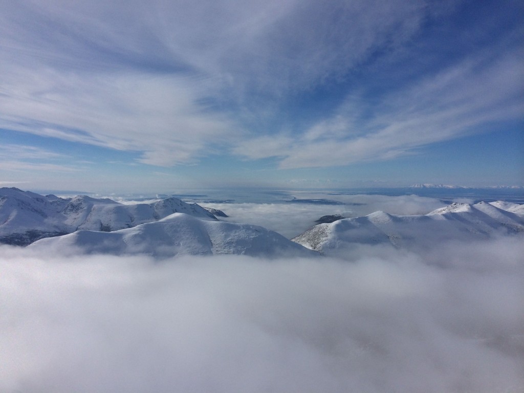
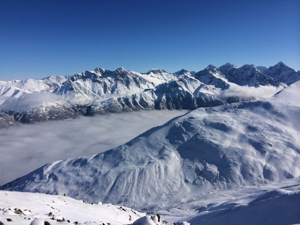
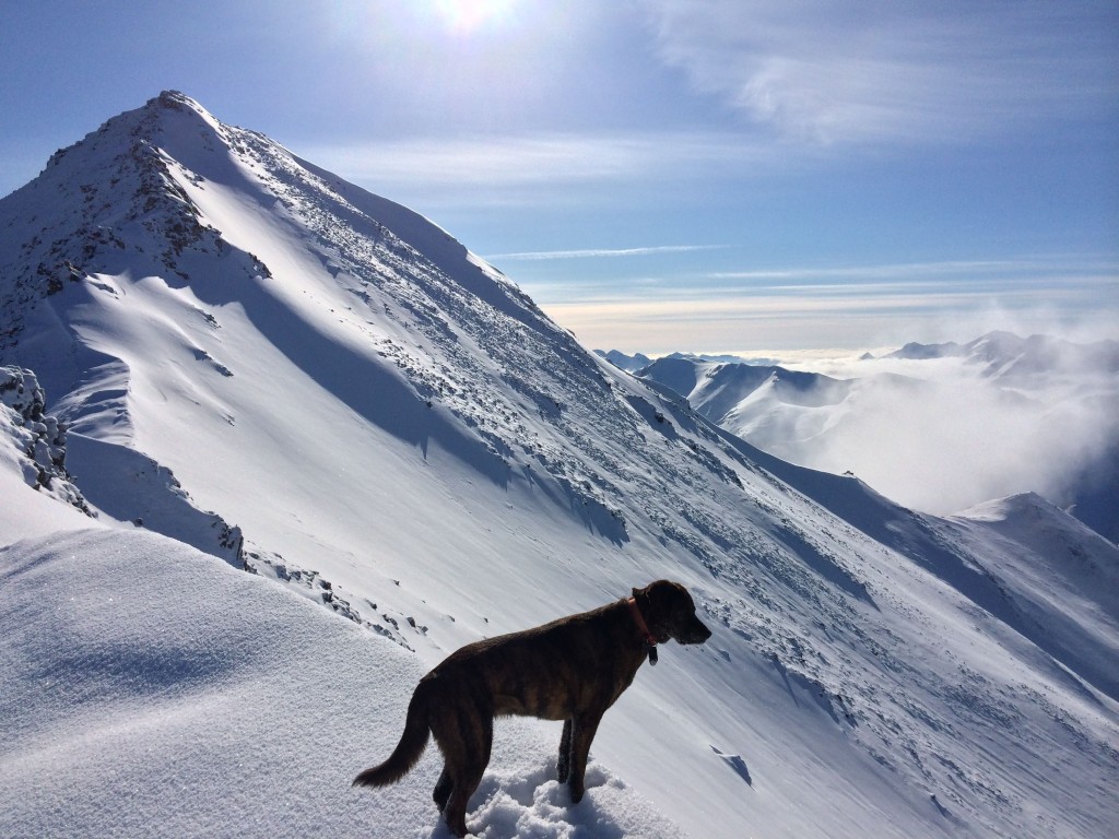
It’s beautiful out there this weekend, the skiing isn’t bad, and there’s plenty of vitamin D to be had. Hope you get some!