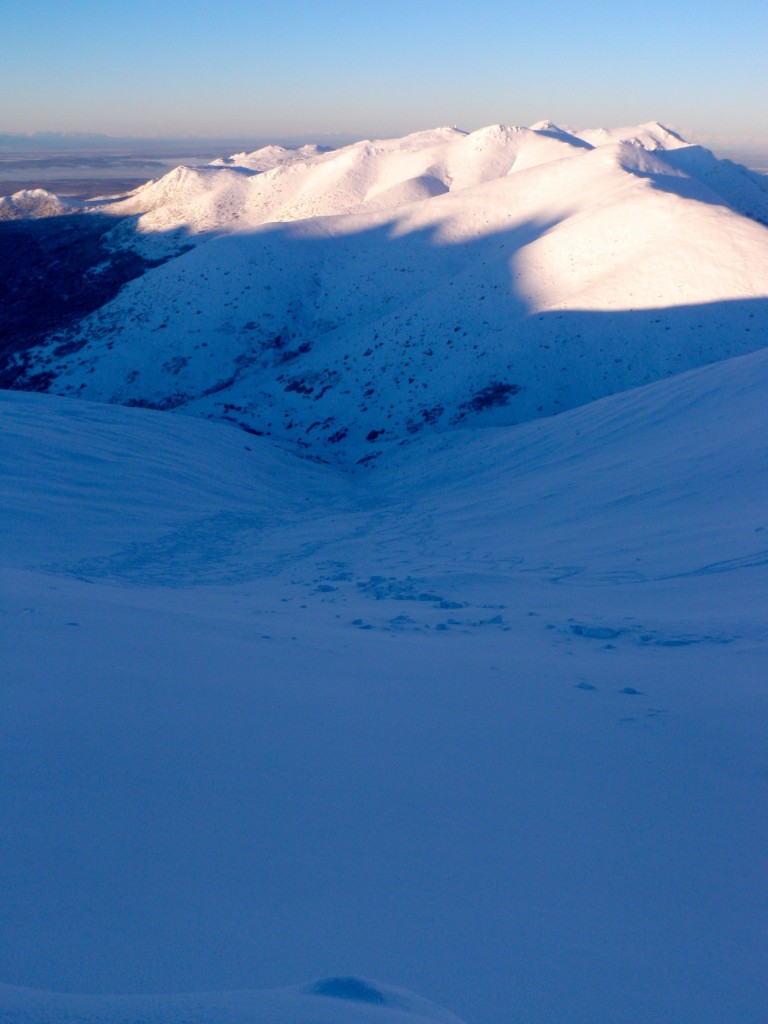
South Fork Eagle River – North Bowl area
Signs of instability:
- Isolated and subtle shooting cracks mainly in wind loaded areas along ridges and in areas where slightly cohesive storm snow soft slabs have formed
- Isolated and very subtle whoomphing in wind-loaded areas along ridges
- Recent, natural, and low volume loose snow avalanches mainly in steep, thin, and rocky areas of the snowpack
- Recent, low volume, and human triggered loose snow avalanches
- No evidence of recent slab avalanches, natural or human triggered
Weather:
- Very light northerly breeze
- Slight inversion with upper elevation temperatures in the high single digits; lower elevation temperatures in the low single digits
- Clear, sunny skies
Surface conditions:
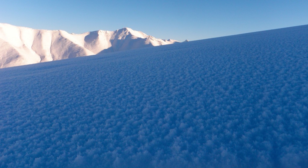
- Average of 10″ loose, unconsolidated, champagne, blower powder (beautiful stellar formations now faceting and with surface hoar) on top of a mostly smooth and supportable melt-freeze/rain crust (more breakable at elevations below 3000′) where there was prior coverage – bare tundra and rocks under the new snow in many areas
- Small, isolated areas where the new snow has formed cohesive, but still very soft, storm snow slabs
- Not much wind-affected snow (soft and subtly wind loaded and affected areas along ridges and cross-loaded terrain features)
- Significant and widespread surface hoar development from one night of clear and cold with little wind
- New snow faceting and sloughing extremely easily above ~30 degrees (long running, but very low volume)
Snowpack discussion:
Things to keep an eye out for prior to and after we get new snow will be rapid surface hoar development on top of the new snow surface. It appears the dendritic, champagne powder (not to mention very cold temperatures with clear skies and minimal wind – ideal conditions) develops surface hoar quite readily. Wind may take care of this before we receive new snow, but we also need to keep an eye out for significant near surface faceting in the new snow – which also appears to be happening quite readily.
I would also expect pronounced faceting at the bottom of the new snow layer, where it rests on top of the melt-freeze/rain crust which will exacerbate the temperature gradient likely leading to advanced faceting of the snow in the vicinity of this crust. A thin layer of more advanced facets directly (weak layer) on top of the smooth and slick crust (bed surface) may provide an ideal combo for avalanching as we receive more snow and a cohesive slab settles above.
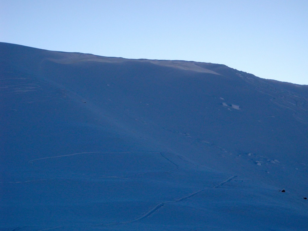
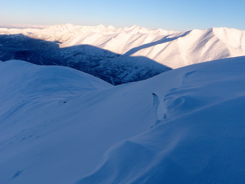
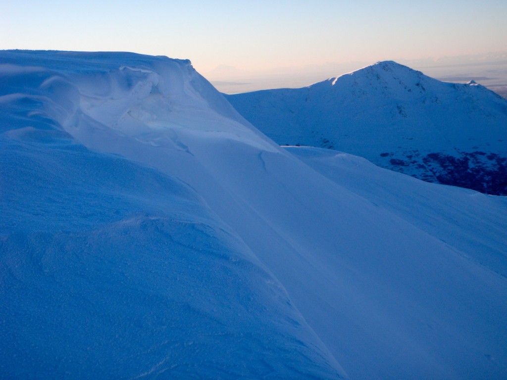
While largely filled in, below are some more pictures of the sizeable North Bowl avalanche that occurred over Thanksgiving weekend. The crown, upper flanks, and hard slab debris chunks are still quite visible. The theory for this avalanche’s occurrence is up-slope winds filling in and loading where the northerly facing cornice typically is; the tipping point for the weak layers identified in earlier observations was reached and a fracture broke at/into the cornice right at the rollover that had been created from filling in the typically corniced area. As these earlier identified persistent weak layers (see obs from Nov. 13 and Nov. 25) were still quite reactive but deeply buried with dense layers (slabs) overlying them, North Bowl experienced a significant early season persistent, hard slab avalanche.
For a detailed observation with snowfall totals (data and map displays) from Sunday, the day after the most recent storm, check out the December 15 observations.
Significant surface hoar development and faceting in the North Bowl area from one night of clear and cold with minimal wind (it’s very widespread):
North Bowl crown from Thanksgiving weekend avalanche still quite visible despite all the new snow:
Flanks of Thanksgiving weekend avalanche:
Hard slab debris from Thanksgiving weekend avalanche still quite visible despite all the new snow:
Midweek Avalanche Outlook (December 17-18, 2013)
Issued Tuesday, December 17, 2013 at 9:00am (information provided below expires in 24 hours):
Anticipated danger for December 17-18:
Click here to view the complete danger scale
Primary concern:
Northerly winds appear to have ramped up across the Front Range and Eagle River area late last night and are currently, and have been for over 12 hours, blowing strong enough in the upper elevations to provide for rapid loading of the easily transportable new snow. Wind slabs well over a foot deep, formed on leeward aspects and in other deposition areas, could be sensitive and reactive Tuesday and Wednesday.
Peripheral concern:
These are expected to be low volume, but long running and under certain circumstances could still prove dangerous.
If you’re out and about in Chugach State Park please submit your observations to the Anchorage Avalanche Center; they’re one of our most valuable resources!
We will update as soon as we’re able to get out and assess conditions further.

