Observations – South Fork Eagle River – Peak 1212 (North Bowl area)
Obvious signs of instability:
- None (significant prior wind-loading and wind-affected snow from Sun-Mon evident but not displaying signs of imminent danger)
Weather:
- Mostly cloudy skies with moderate SSE wind and temps in the upper teens
Surface conditions:
- Fully supportable windboard, wind-buffed powder, grabby and breakable wind-crusted snow (listed from most-least widespread)
Discussion:
The SoFo valley skiing is still decent despite recent winds. Most loose snow has already been redistributed and packed into place; it will take extensive periods of strong winds to further re-distribute and/or strip away snow now.
There are likely many areas where sketchy wind slabs have developed, but in general the snow seems to be bonding well. Despite many areas with a “slabby”, somewhat hollow feel the red flags of instability or bull’s eye clues to imminent avalanche danger didn’t present themselves on terrain near the Upper South Fork trailhead Monday. The Anchorage Avalanche Center will be further assessing the wind’s effects on the Fri-Sat storm snow in the upcoming days.
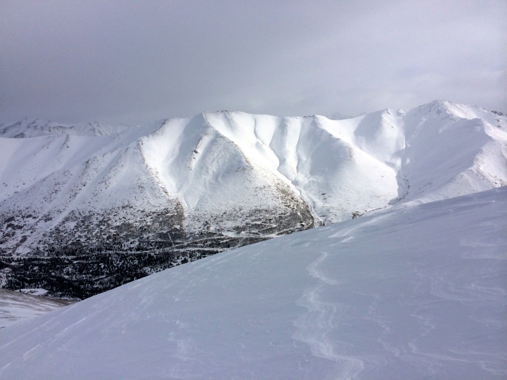
Hiland Road access terrain still appears decent (not too much wind as tracks from Sat-Sun still visible from across the valley):
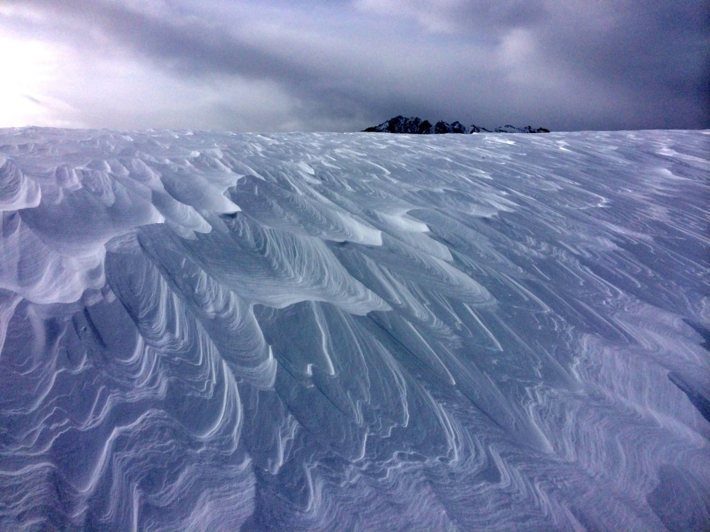
Sastrugi on the North Bowl ridge:
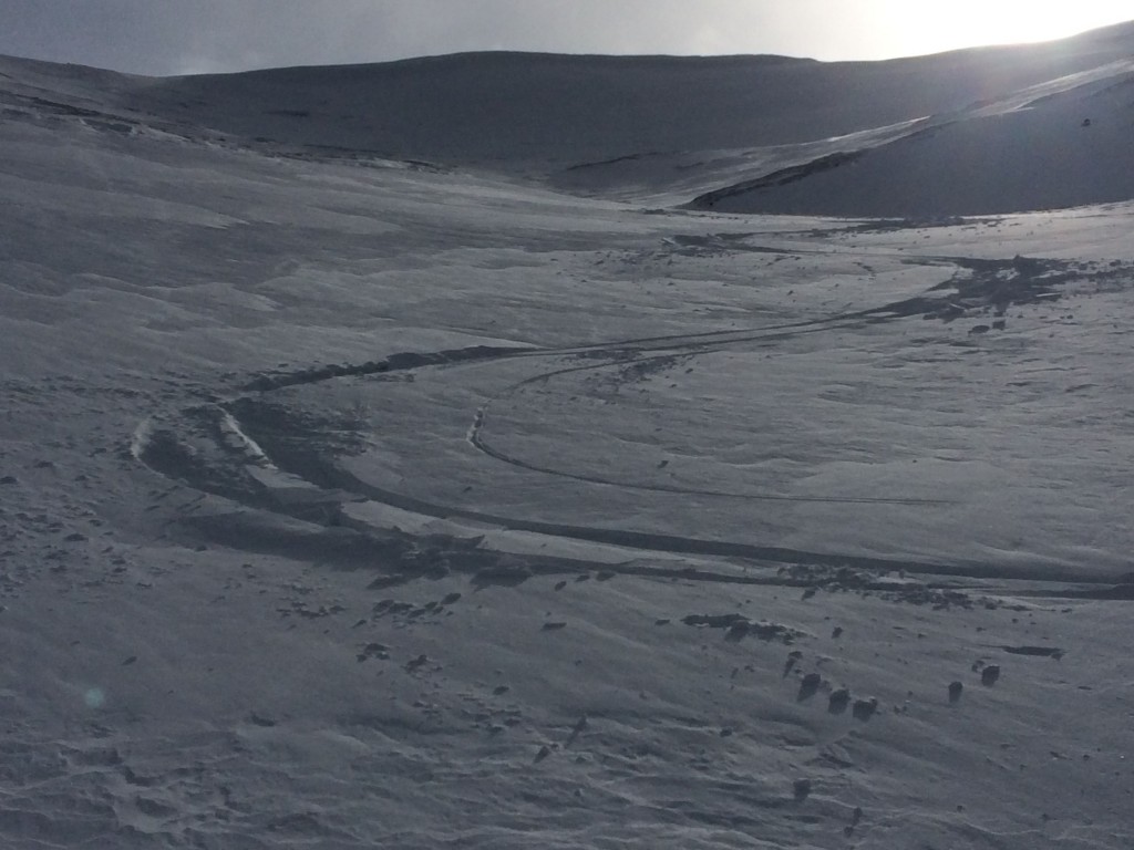
North Bowl turn quality (not good, not bad):
Observed avalanche danger Monday, March 17:
Expected avalanche danger Tuesday, March 18:
Avalanche danger is expected to decrease through the week with generally quiescent weather. However, the sun will be reasserting itself later this week and associated considerations will need to be taken into account when this happens. Be mindful of solar radiation and warming temps contributing to instabilities primarily on south and west aspects later in the day.

