Observations – Canyon Road (Tuesday) & South Fork Eagle River (Wednesday)
Signs of instability:
- Small, isolated pockets of subtle collapsing (too stale to be referred as a whumph) in areas where there’s a combo of thin snowpack, thin & weak melt-freeze crust (MFC), and advanced facets/depth hoar beneath MFC to the ground – South Fork Wednesday
- Very small (~5’x5′), isolated pockets of thin (less than 2″), reactive wind slab/crust – South Fork Wednesday
- No other obvious signs of instability observed in the South Fork area Wednesday
- No obvious signs of instability observed in the Canyon Road area Tuesday
Weather:
- Tuesday in the Canyon Road area: partly to mostly cloudy skies (passing low clouds and resultant low vis at times) with a light down valley (SE) breeze and temps in the upper teens
- Wednesday in the South Fork area: sunny (bluebird) and calm with a light N-NE breeze at times and temps in the mid-upper teens
Surface conditions:
- Tuesday in the Canyon Road area (Peaks 3 & 4): mostly supportable windboard with 1-10cm fresh on top (more at higher elevations) – mostly smooth and fast
- Wednesday in the South Fork area (Lynx front & back sides): slightly wind-affected, settled powder (still very soft and carve-able)
Discussion:
The mid-upper elevations (above 3000′) at Canyon Road received a classic FRange wind refresh with almost all tracks from this past weekend’s powder days erased – still skiing good (if you’re not a snow snob):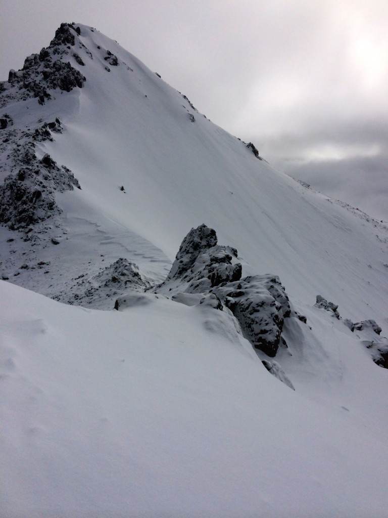
All areas above Hiland Road not exposed to the wind in the vicinity of 3 Bowls – Lynx are growing surface hoar (~1-2mm in size, standing & intact, as of Wednesday):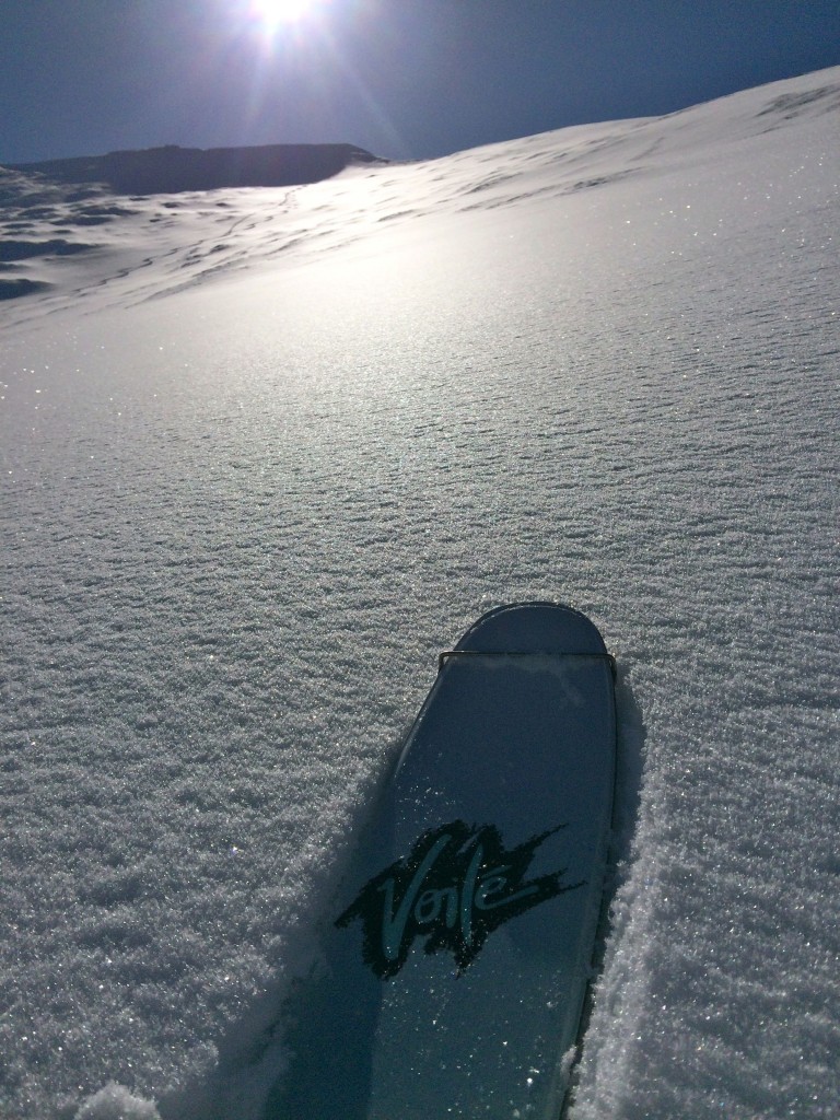
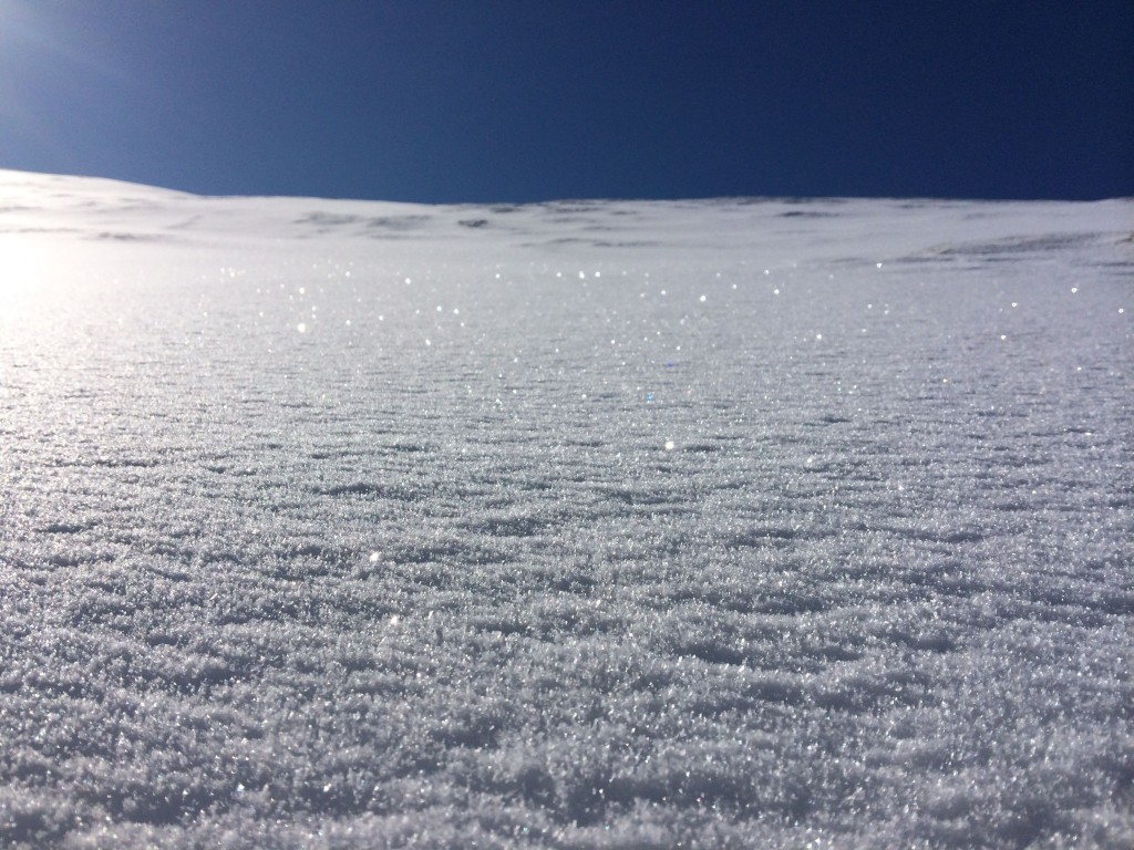
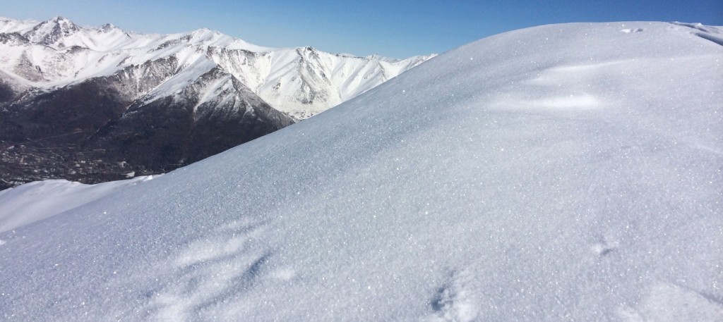
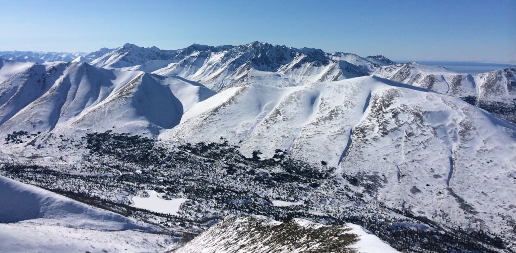
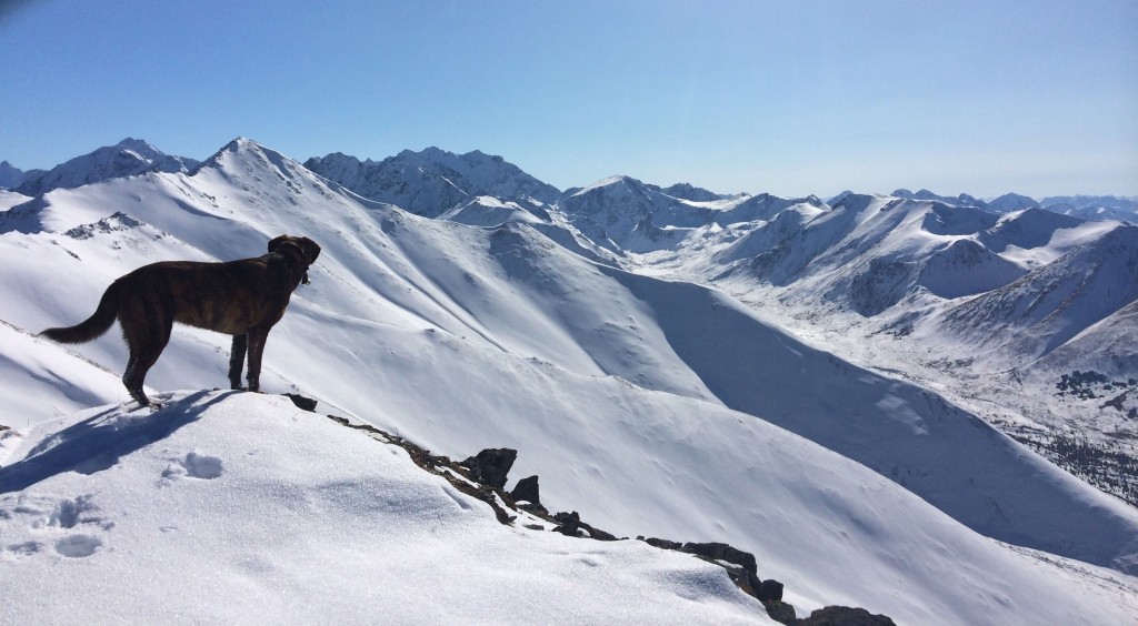
Plenty of eye candy, vitamin D, and good riding to be had: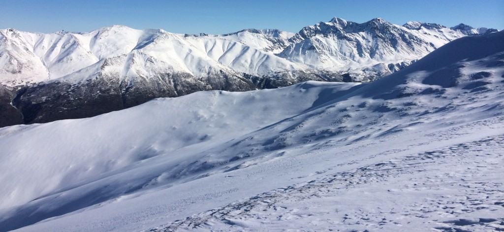
Observed avalanche danger Tuesday & Wednesday, March 18-19, 2014:
The danger is decreasing but big, continuously steep terrain hasn’t been assessed and may be harboring lingering wind slabs. The sun has yet to have any noteworthy affect on avalanche danger besides creating superficial sun crusts (firnspiegel) in some places.
Expected avalanche danger Thursday & Friday, March 20-21, 2014:
Quiescent weather is forecast to continue through the weekend; avalanche danger should thus continue to decrease. Expect the danger to be at the low end of moderate for Thursday and Friday, primarily for lingering wind slabs on steep upper elevation terrain. Pockets of problematic wind slab should be relatively easy to identify by their appearance and feel: rounded/pillowy/bulbous and stiff/hollow. The sun is not expected to have much of an affect on avalanche danger, but be mindful of warming and solar radiation contributing to instabilities on the most exposed aspects (South and West later in the day).

