Observations
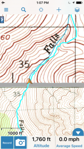
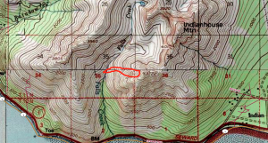
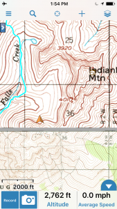
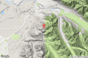
Turnagain Arm (Southern Front Range): Falls Creek
Obvious signs of instability (red flags):
- Very small (D1), natural loose snow avalanches (“sluffs”) from steep, rocky terrain
Surface conditions:
- 6″+ very low density powder on supportable melt-freeze crust or windboard depending on aspect
Snowpack:
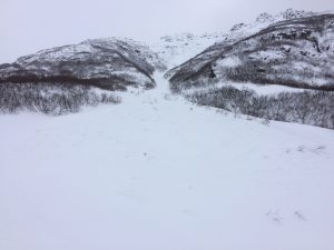
This avalanche path along the Falls Creek summer trail runs naturally regularly throughout the snow season. The debris typically crosses the summer trail. The V-shaped valley is a serious terrain trap. Debris is VERY deep. There are other paths at lower and higher elevations along the Falls Creek summer trail that also have the potential to cross it. Be mindful when dangerous avalanche conditions exist.
Falls Peak snowpit: ~2800′, 334* NW aspect, 34* slope, 225cm HS, ECTP16 Q3 down 35cm (~5cm of 4F decomposing/facets between 1F wind packed above and 1F+ wind packed below).
Arctic Valley:
Observation originally submitted to the Chugach National Forest Avalanche Information Center. It has been edited by the Anchorage Avalanche Center.
Weather:
Temp at Arctic Valley ridgetop 2.9 degrees F. Very light W wind. Obscured peaks. Snowing lightly.
Surface conditions:
20 cm of new light snow.
Snowpack:
Very variable snow depth and snowpack throughout valley. 20-30cm of this week’s snow over bare ground to 180cm wind drifts. Average of about 70cm coverage on southern aspects.
Previous wind effect from south and west wind.
Dug pit at 3100′ SW aspect. Thirty cm of light new snow over rounded recent snow. Buried surface hoar/near surface facets evident at 35cm down over harder rounded grain slab with variable melt freeze crust at 53cm down. Rounded grain slab below that. CTH 21 Q2 (on BSH/near surface facets layer), CTE 6 PC in new snow, CTN. At same elevation, solar ice crust on S aspect.
Depth hoar sudden collapse in test in another pit in shallower area.

