South Fork Eagle River – North Bowl
Signs of instability:
- No signs of instability noted today and no apparent signs of recent instabilities.
- However, North Bowl experienced a very large and anomalous avalanche a little over a week ago which is discussed in more detail below.
Weather:
- Cloudy with flurries intensifying from mid to late afternoon, low visibility, light winds, and temperatures in the single digits.
Surface conditions:
- Most areas with coverage sport a supportable melt-freeze/rain crust, from recent above freezing temperatures and rain, with a dusting (1-2cm) of fluffy fresh snow from flurries yesterday and today.
- The near surface crust is less supportable and more breakable at the lower elevations and where the snowpack is thinner, especially around exposed tundra and other ground features.
- Where the crust is supportable, the surface is slick and the only traction provided is from the dusting of fresh, dry snow. In the upper elevations the crust is stout enough that it can be difficult to get traction without crampons. Without crampons, uphill travel is facilitated in thinner areas of the snowpack where the crust is breakable or via exposed ground.
- Otherwise, there’s a lot of exposed tundra and rocks due to last weeks warm temperatures and rain.
Snowpack discussion:
Nothing builds character (and perhaps skill) like skiing the westernmost Chugach when it’s bad. It’s kind of like thinking global, acting local, and buying that Alaskan grown produce even when it’s nasty.
On the bright side of our undesirable winter weather of late, we now have a more solid, supportable, and less faceted base. However, more ground is exposed due to wind, warm temperatures, and rain since we’ve received any snowfall worth noting. Recent weather conditions have created a surface crust, as described above, that is of varying thickness (3-15cm) but generally supportable. In the upper elevations the crust is stout, thick, and almost impenetrable. At the lower to mid elevations, where you can actually dig into the crust without too much difficulty, it has a layer of large melt-freeze advanced facets to the ground. These facets have settled quite a bit but are still mostly un-cohesive except where they’ve underwent enough of a melt-freeze cycle to form some icy chunks.
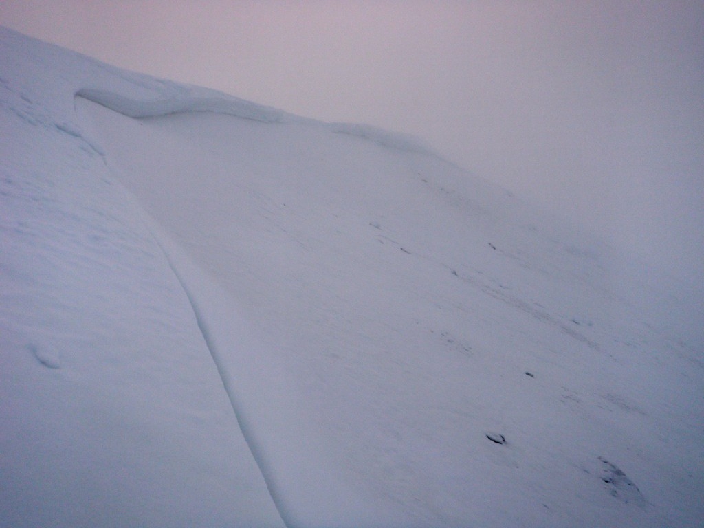
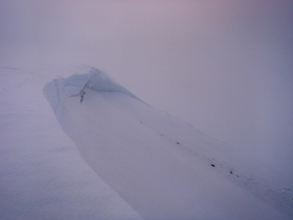
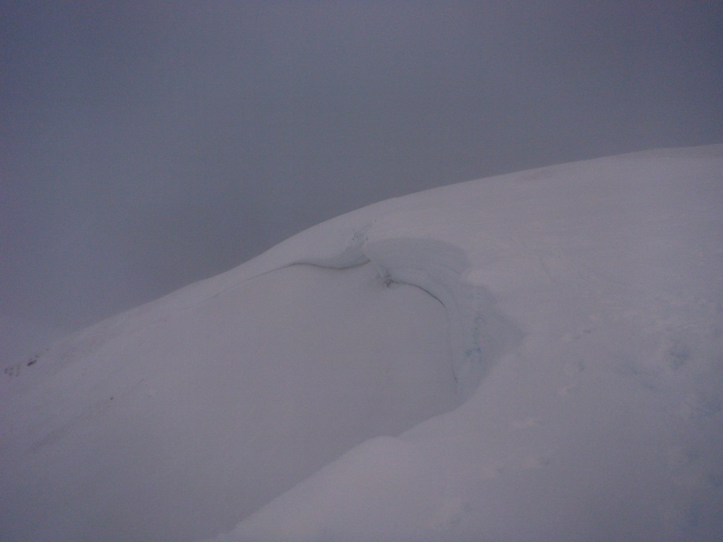
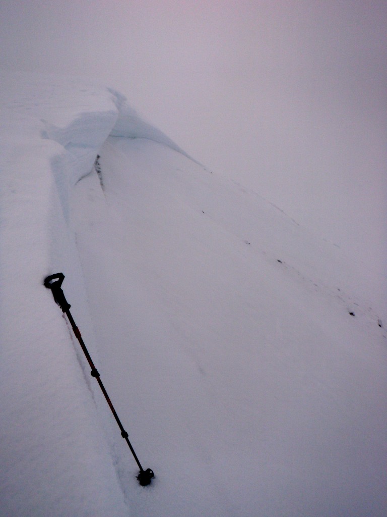
The story of the day is a very large (for North Bowl) avalanche that seems to have released over Thanksgiving weekend. The AAC was alerted to a possible North Bowl avalanche on November 30 by an observer driving down from Arctic Valley. However, due to time constraints, poor weather, and not being able to see the slide due to flat light from Arctic Valley last week, I was not able to take a closer until today. Poor visibility and an icy surface complicated inspection. Additionally, due to rain, melt-freeze conditions, and time elapsed since the avalanche, a crown profile wasn’t feasible. Nonetheless, the past two observations from North Bowl (view: Nov. 13 and Nov. 25) and the data I was able to gather today has lead to some likely conclusions:
- Hard slab avalanche that started just below the North Bowl ridge at ~3900′ on a NW aspect
- Ran ~900′ with a crown ~40 yards wide
- Likely naturally triggered by wind loading of our most recent notable deposit of snow that we received just before Thanksgiving
- First alerted to this avalanche on Nov. 30; guessing it occurred that day or the day before when northerly wind started cranking in the Western Chugach
- Appeared to have failed at the problematic layer of very weak facets on top of thick basal ice (bed surface), as identified in the observations mentioned above from Nov. 13 and 25
- Less than 100′ below the the fracture it stepped down to the ground (the basal ice layer wasn’t as substantial here)
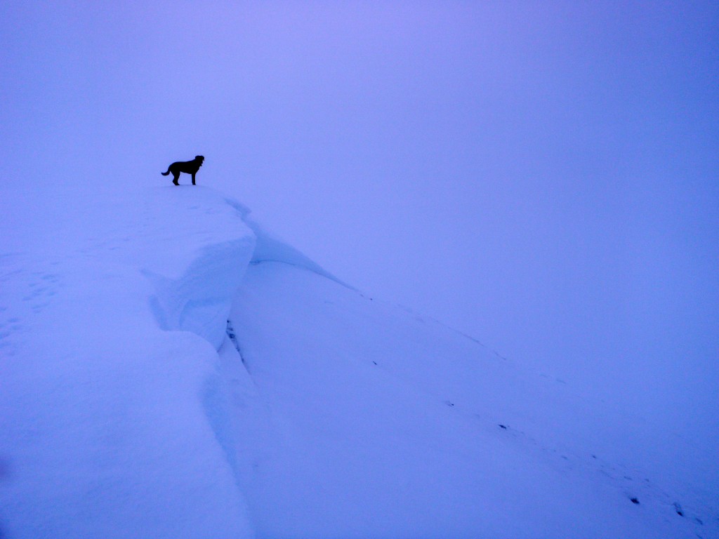
- The crown depth ranged from ~10″ near the skier’s right flank to ~5-6′ in the thickest spot
- HS-N-D2.5-R3
Further investigation was hampered due to iciness. Check out the observations from Nov. 13 and 25 for more information on the problematic layer where failure occurred.
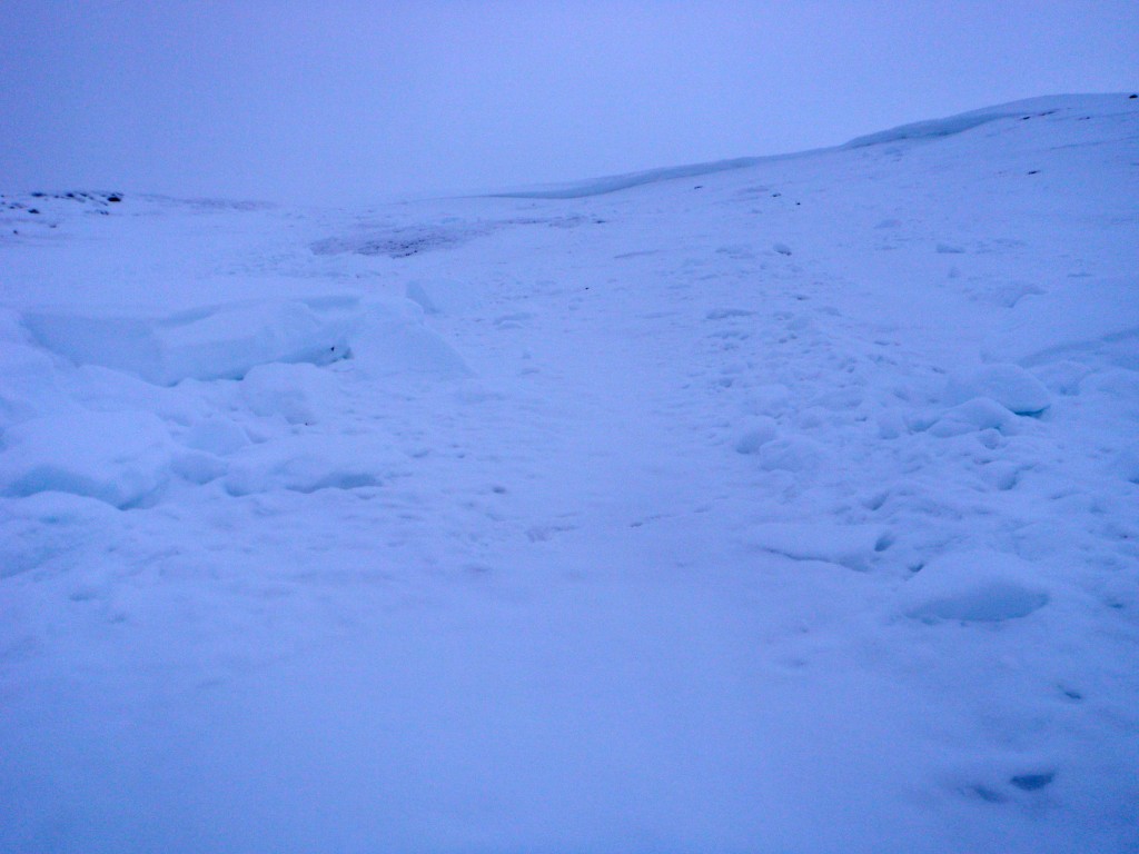
From the flank on the approach:
From the North Bowl ridge looking west:
From the North Bowl ridge looking east:
Crown depth of 130cm here:
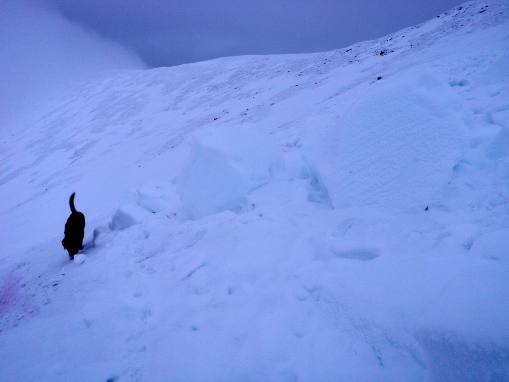
Loyal field assistant puts things into perspective (crown depth ~5′ below her):
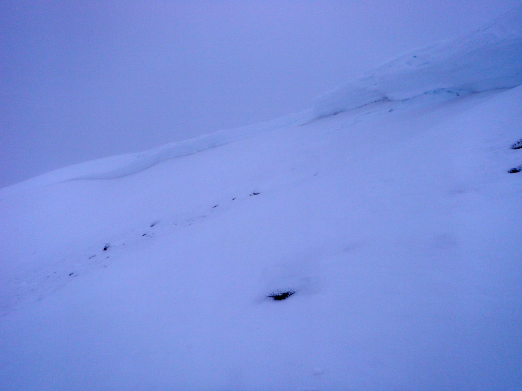
From about the middle looking NE just below the crown:
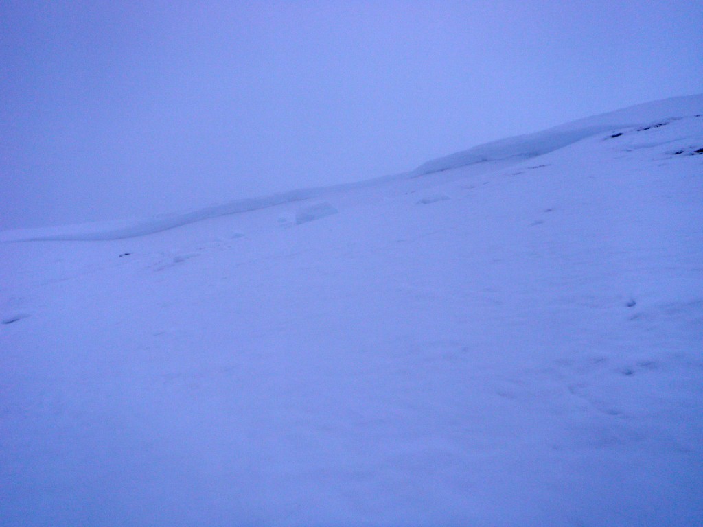
A look at most of the crown from below:
Crown with debris chunks from about halfway down the path:
Field assistant again puts things into perspective (she is a lean ~70lb dog):
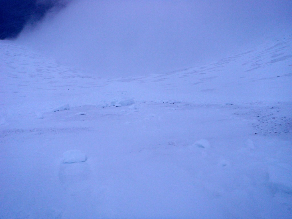
The lower half of the runout:

