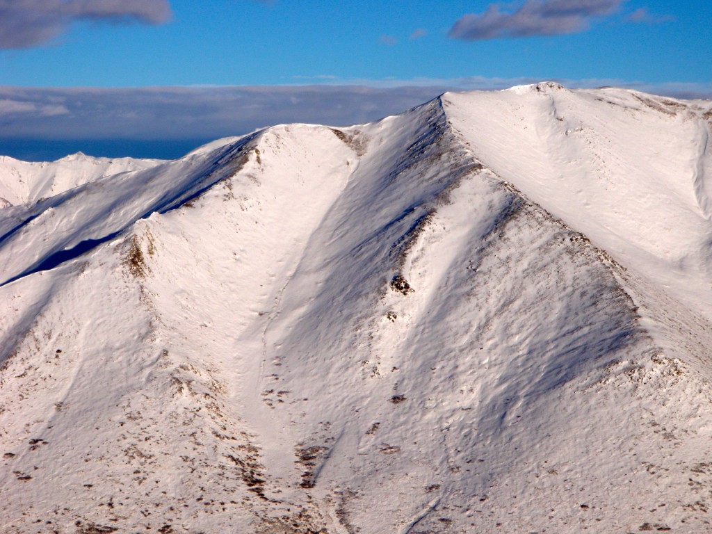
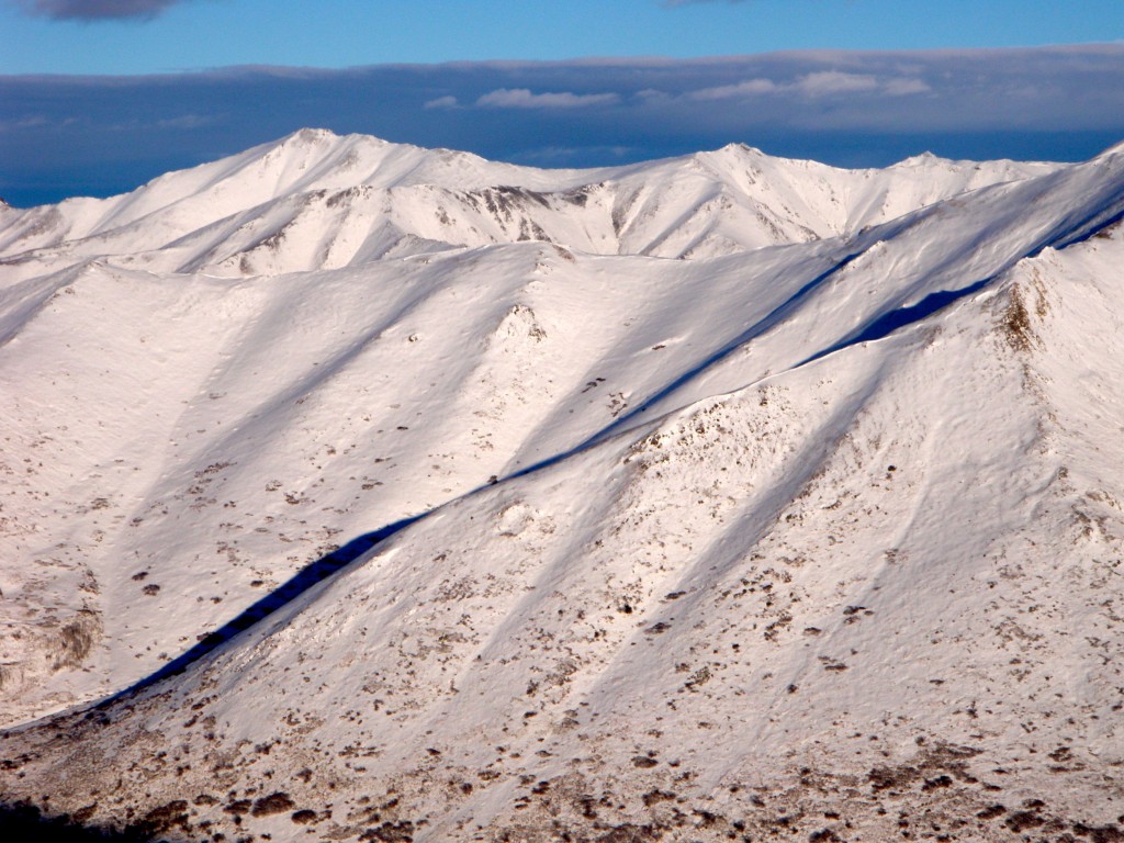
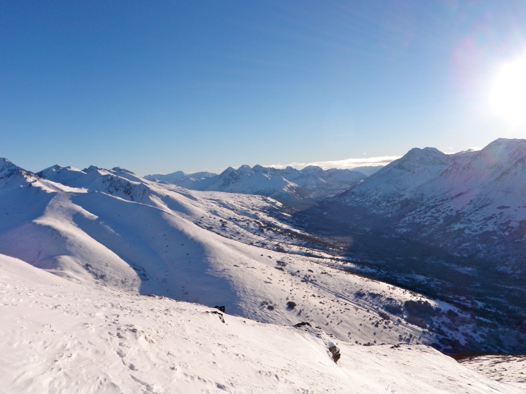
***With the arrival of an extended high pressure system (generally clear and cold weather with no precipitation) that is currently forecast to last until the end of next week there will likely not be any updates until snowfall returns to the Front Range and Eagle River area Chugach and recreational opportunities reemerge.
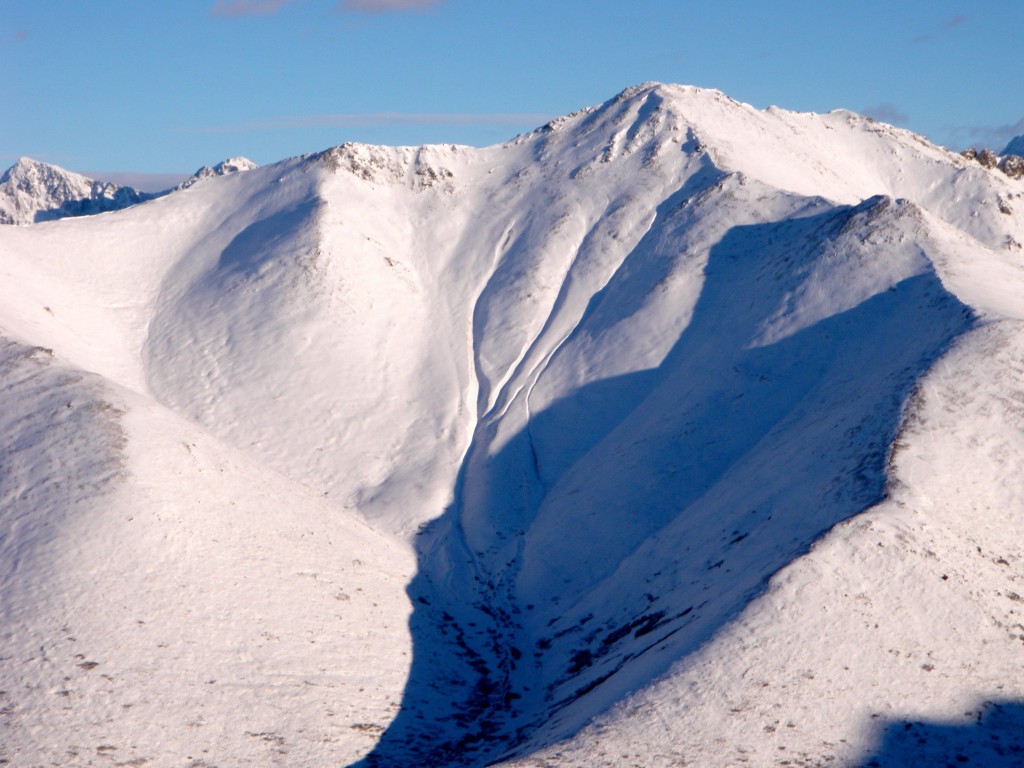
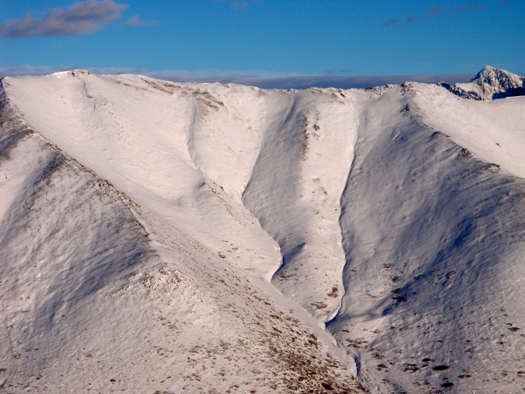
South Fork Eagle River – North Bowl
Signs of Instability:
- Sketchy snowpit test results (CTV Q2 x3, ECTPV Q2) near the top of North Bowl (NW aspect, 3800′)
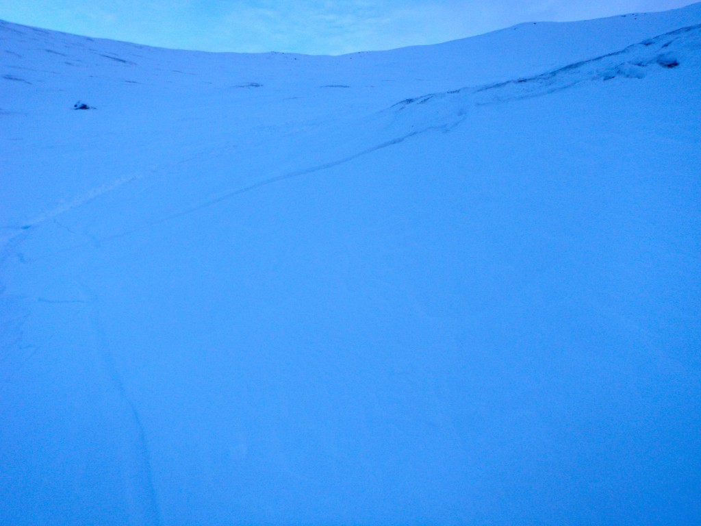
- Small, shallow wind slab fractured on rollover (did not go anywhere due to low slope angle and micro terrain feature)
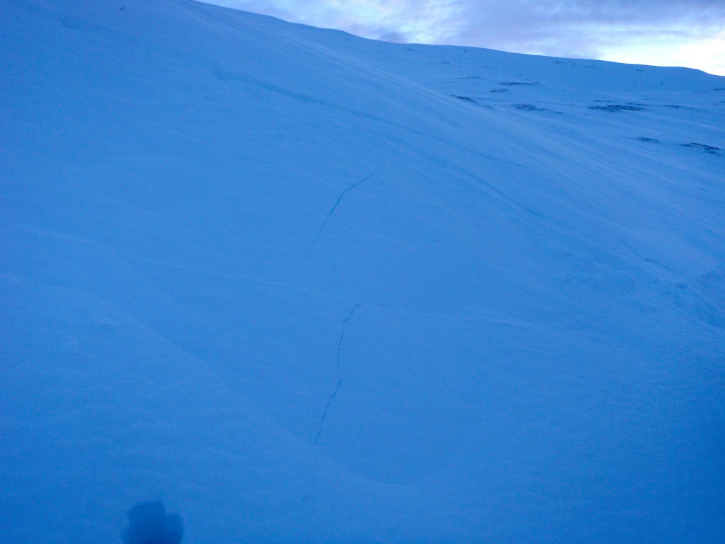
- Localized shooting cracks in areas where small, shallow, and soft wind slabs have formed
Weather:
- Mostly cloudy skies becoming partly cloudy through the afternoon, increasing clouds from the west in the evening (the forecast freezing rain event)
- Light-moderate SE winds creating some saltation of loose surface particles but not contributing to obvious loading
- Mountain temperatures slowly rising through the day from the lower to mid 20s
Avalanche Concerns:
Click for a video of North Bowl ~3800′ NW aspect snowpit test results demanding caution
Average snowpack at ~3000′, N aspect: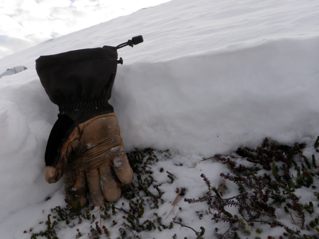
Upper elevation snowpack (3800′, NW aspect). Bottom is knife hard and thick rain crust with 1-2cm loose facets between pencil hard grains above. Sketchy snowpit test results all failed on this faceted weak layer (three column tests and one extended column test all failing on isolation). CTVx3, Q2 and ECTPV, Q2 – see above video link for more: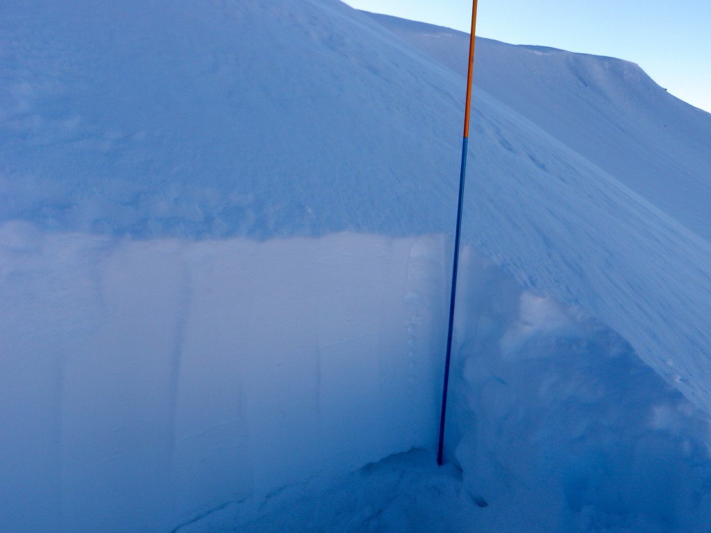
One of the column tests that failed on isolation turned upside to show dangerous weak layer of loose facets between pencil hard grains and thick rain crust(CTV, Q2):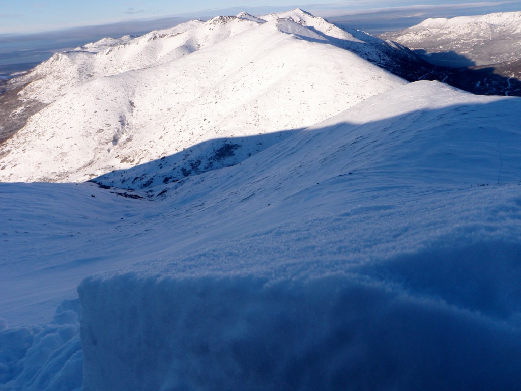
Soft, shallow and small wind slab that popped on this mini rollover, but didn’t go anywhere due to low slope angle: