Observations – Tuesday, March 4, 2014 – Arctic Valley Backcountry
Signs of instability:
- None
Weather:
- Cloudy with flurries and more consistent snow at times, but still very light
- Moderate SE wind
- Temps in the upper teens
Surface Conditions:
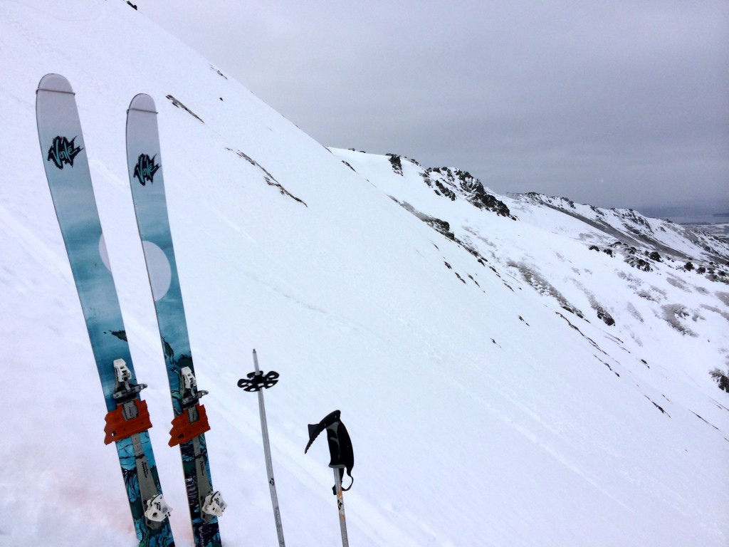
- Mostly soft but supportable crusts on NW Gordon Lyon (harder, scratchier crusts on south side of ridgeline)
- Small pockets of icier crust and raised anti-tracks
Discussion:
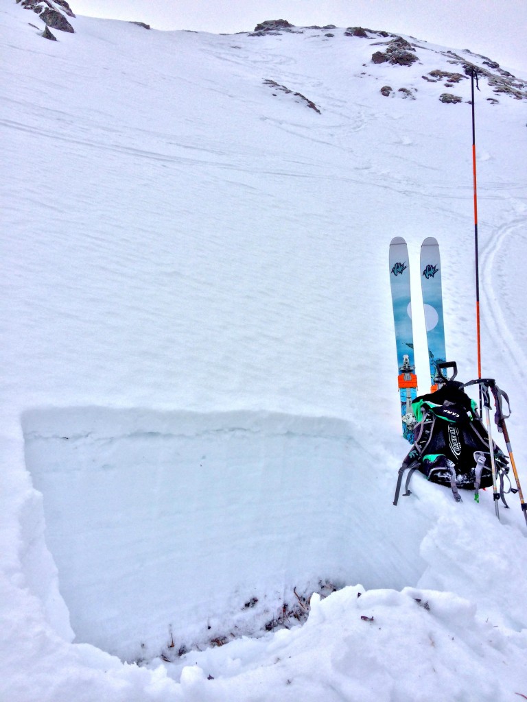
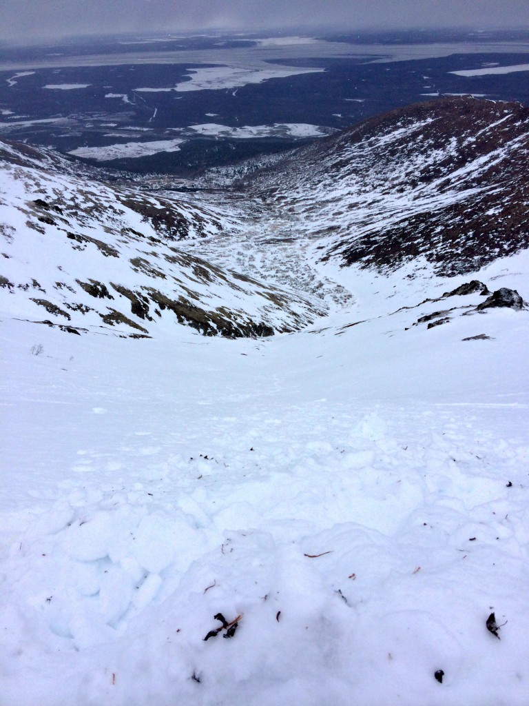
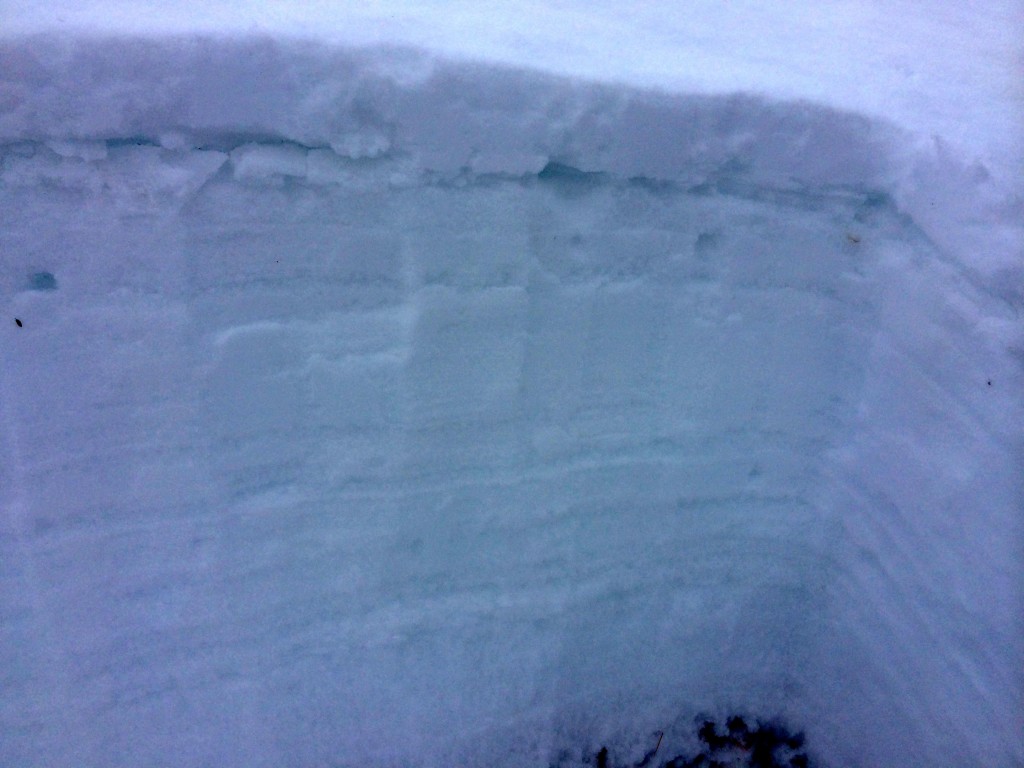
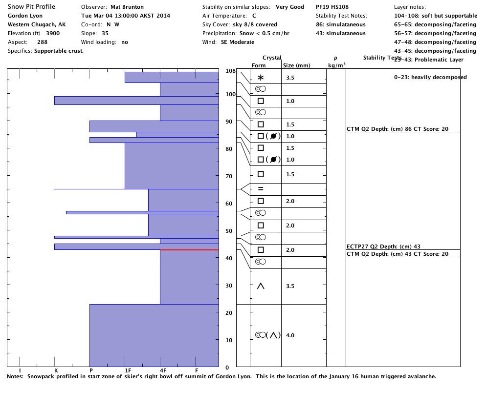
Snowpack profiled and assessed in the start zone of the skier’s right bowl off the summit of Gordon Lyon’s NW aspect (location of 1/16/14 human triggered avalanche – common skier’s right path above lower terrain trap):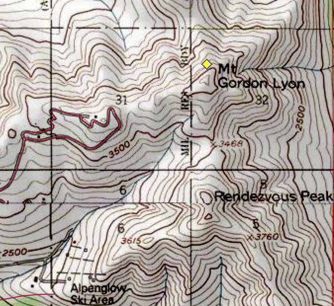
Avalanche Outlook – Wednesday, March 5, 2014
Click here to see the complete danger scale
The avalanche danger will increase with new snow and wind through Wednesday. The primary concern will be mid to upper elevation (above ~3000′) wind slabs on leeward aspects (predominantly NW near peaks and ridge crests) and cross-loaded terrain features (e.g. gully sidewalls).

