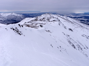
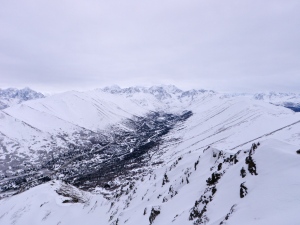
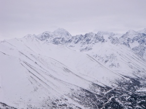
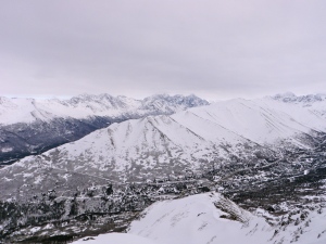
Confidence remains in the low avalanche hazard, until wind speeds increase significantly. High winds are forecast for the next 48 hours and will increase the hazard to some degree, likely to moderate in some areas, but there is little loose snow available for transport into large and dangerous slabs. However, high consequence, steep terrain will need to be approached even more cautiously after this wind event. Conditions will be re-assessed more thoroughly by Saturday’s advisory.
Arctic Valley – Gordon Lyon
Weather:
Mostly cloudy skies, moderate winds (no snow transport), temps in the mid 20’s.
Surface Conditions:
Firm, supportable windboard with 1-10 cm of decomposing/fragmented precip particles, near surface facets, with surface hoar on top (surface hoar blown over and dismantled on ridge tops and in areas more exposed to the wind, but intact in other more protected areas. The high winds forecast should take care of the remaining hoar before it become a dangerous buried layer, although more could develop after the wind event and before we receive more snow.
Further Discussion:
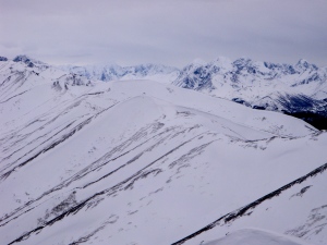
It’s been skied since our most recent deposit of snow on Friday, but was looking 99% refreshed by the winds’ redistribution of softer surface snow.
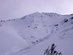 The surface is firmer, faster, and with less soft snow on and just below the Gordon Lyon ridge:
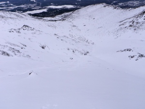
Plenty of deeper, softer snow on the way down:

